Thursday’s itinerary included an early morning visit to the Temple of Seti 1 at Abydos, followed by a journey north into Middle Egypt to visit tombs of governors of the Wadjet/Cobra nome.
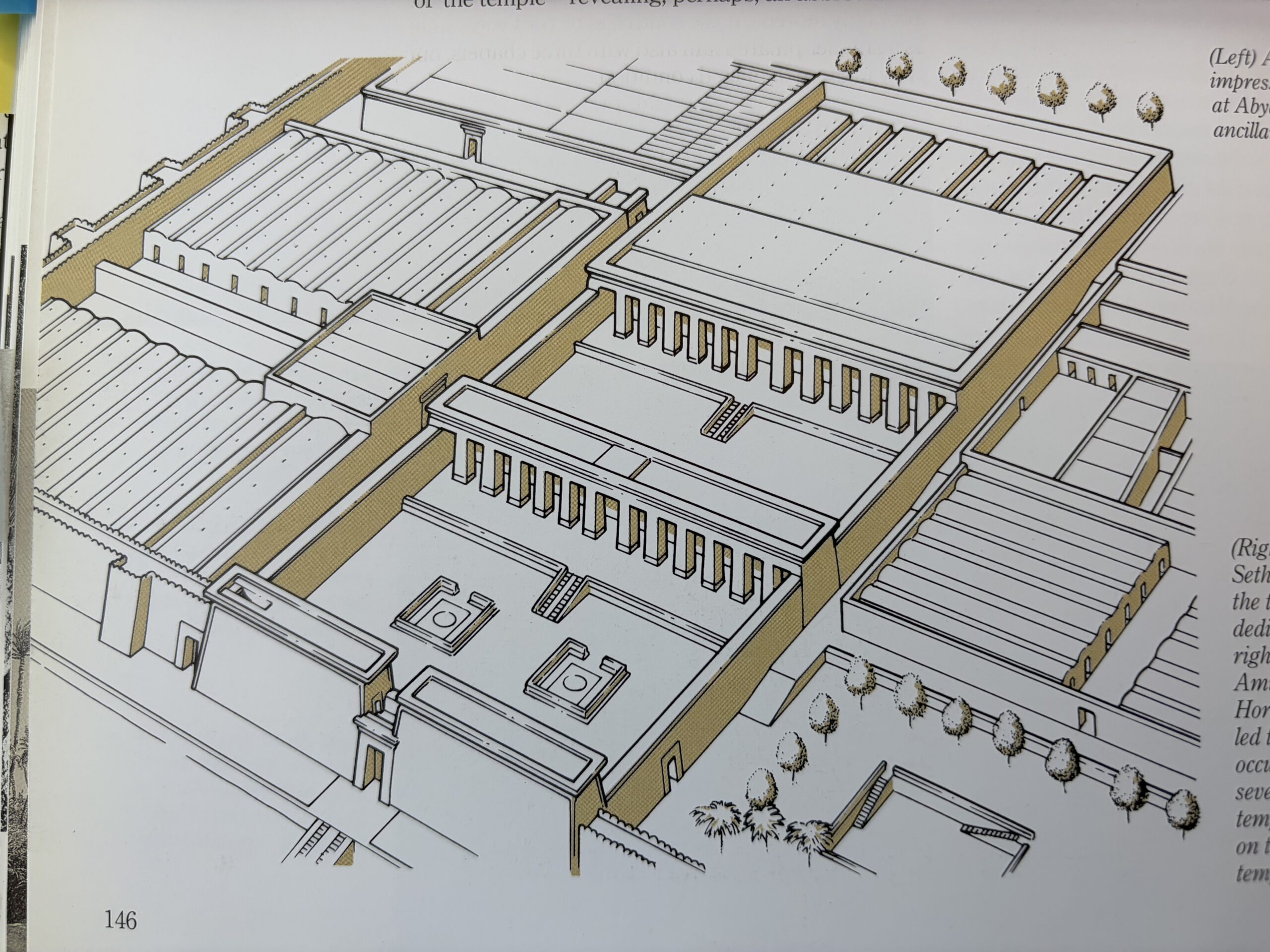
In the Middle Kingdom, nearly all rulers expanded or reconstructed the main Khentiamentiu/Osiris temple while building separate “ka chapels” at other Abydos locations. (Egyptians believed that people had multiple “souls.” The “ka” is the soul through which the deceased could receive nourishment in the afterlife. So “ka chapels” were places where offering could be made to sustain the deceased in the afterlife.”) Senusret III went farther and built a full-scale mortuary complex (including a dummy tomb) in front of Anubis Mountain with a mortuary temple at the edge of the cultivation. New Kingdom rulers, beginning with Ahmose (c. 1550-1525) started building large, free-standing temples of which Seti 1’s (c. 1294–1279 BCE) is the grandest.
Seti 1’s temple was off-topic for our tour, but we couldn’t possibly skip the opportunity to visit this grand temple with its exquisite reliefs – and the House of Life is just down the street from the Seti 1 Temple, literally a 10 minute walk to the temple doors.

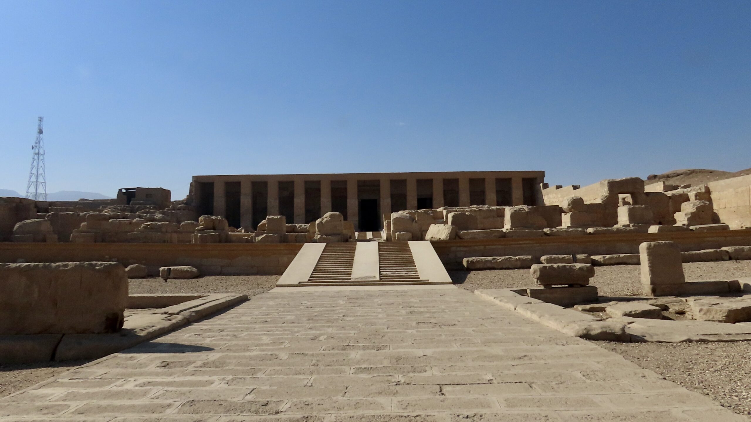
At 8 am, day-bags on the bus and suitcases staged at the hotel for a quick getaway, we were off to pay our respects to Seti 1. (Annotated photo from Perry.)
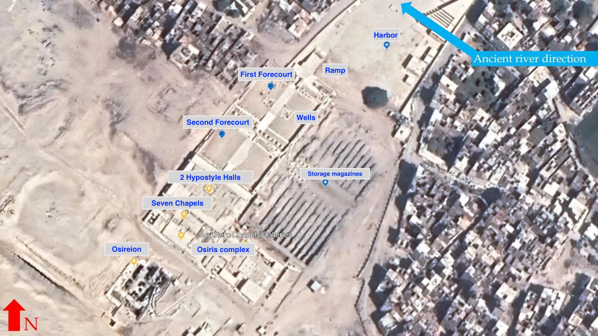

Originally, there was a high wall with portico gates giving access to the first forecourt. Few traces of this wall remain.


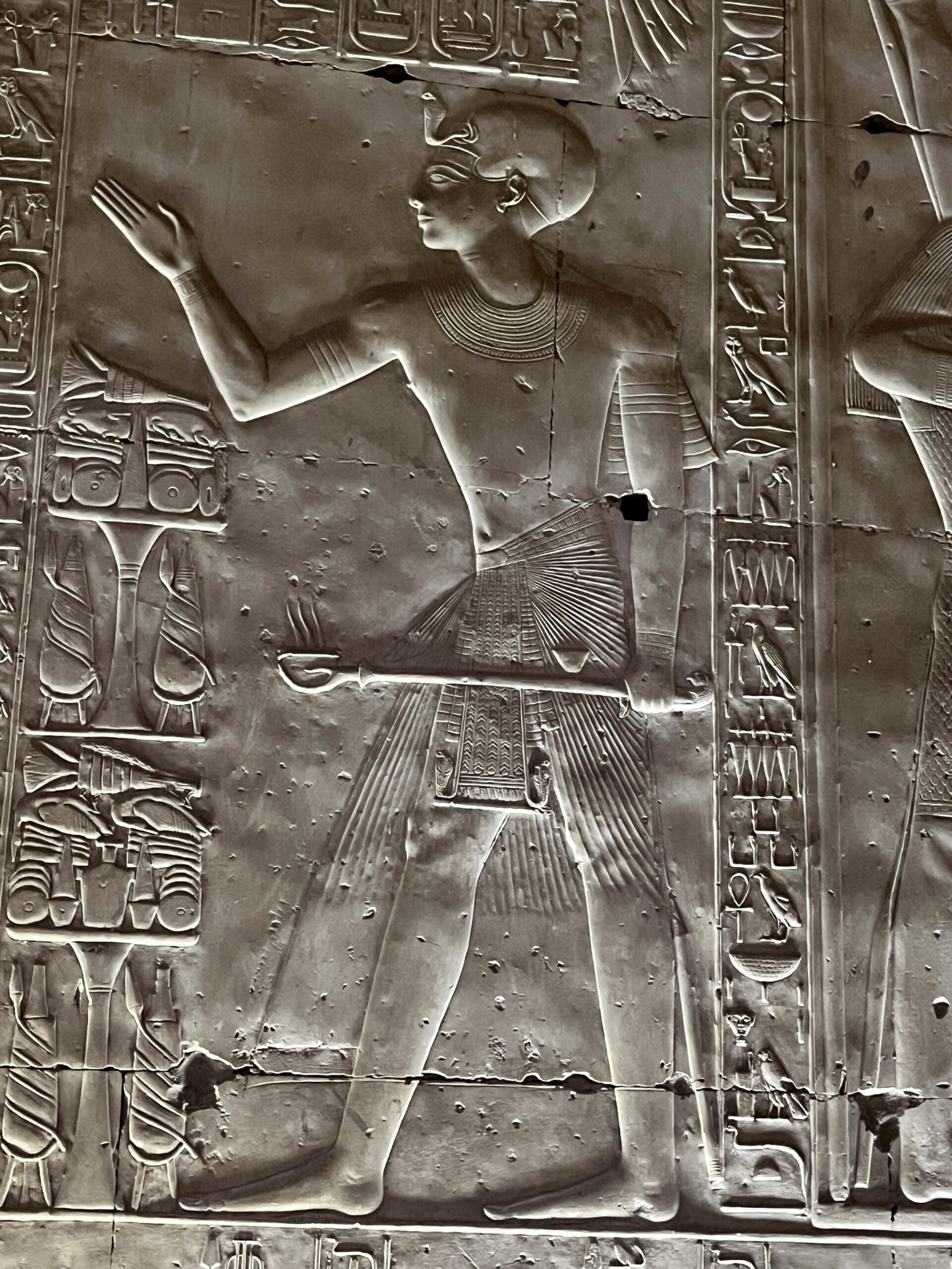
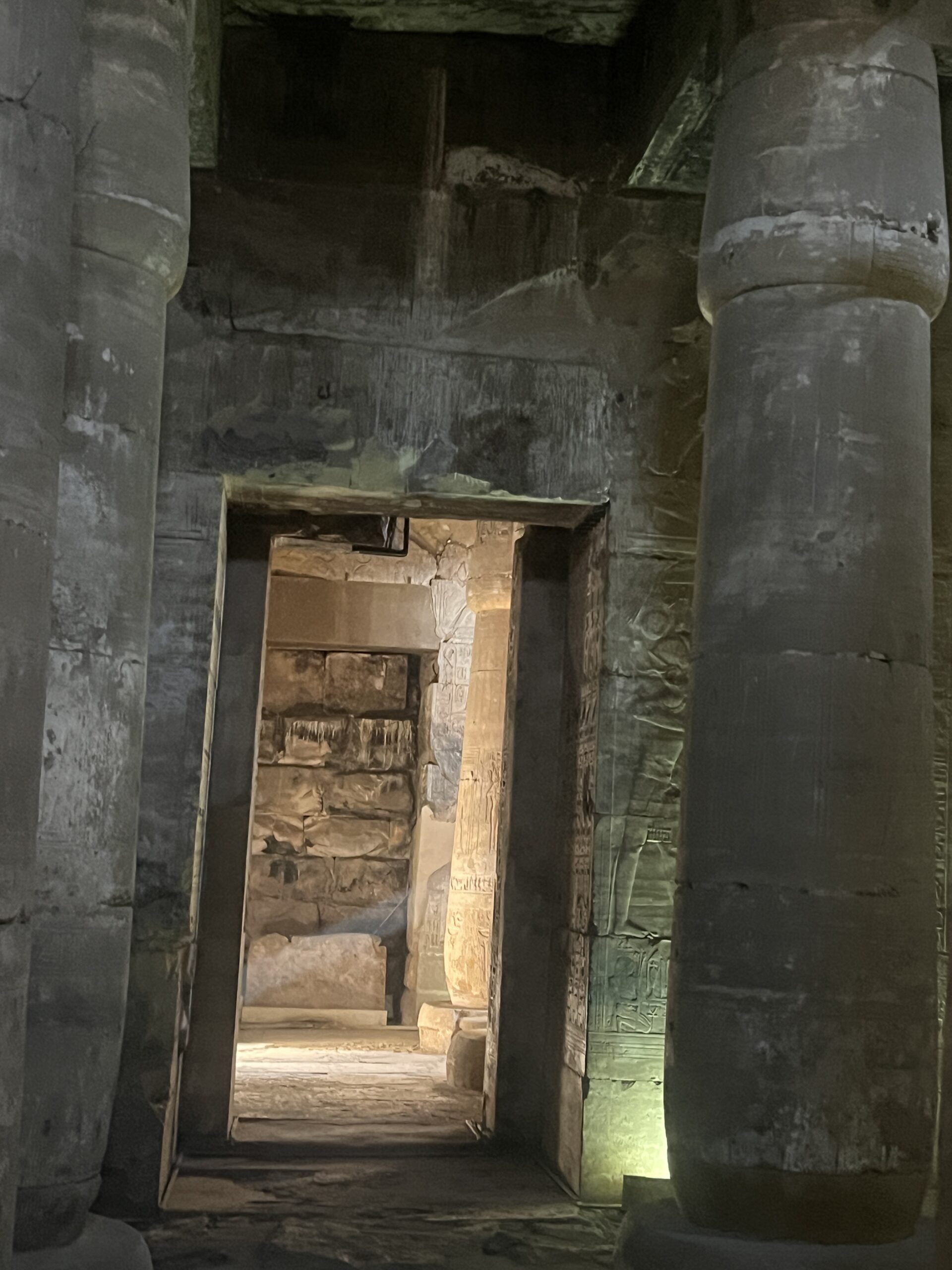
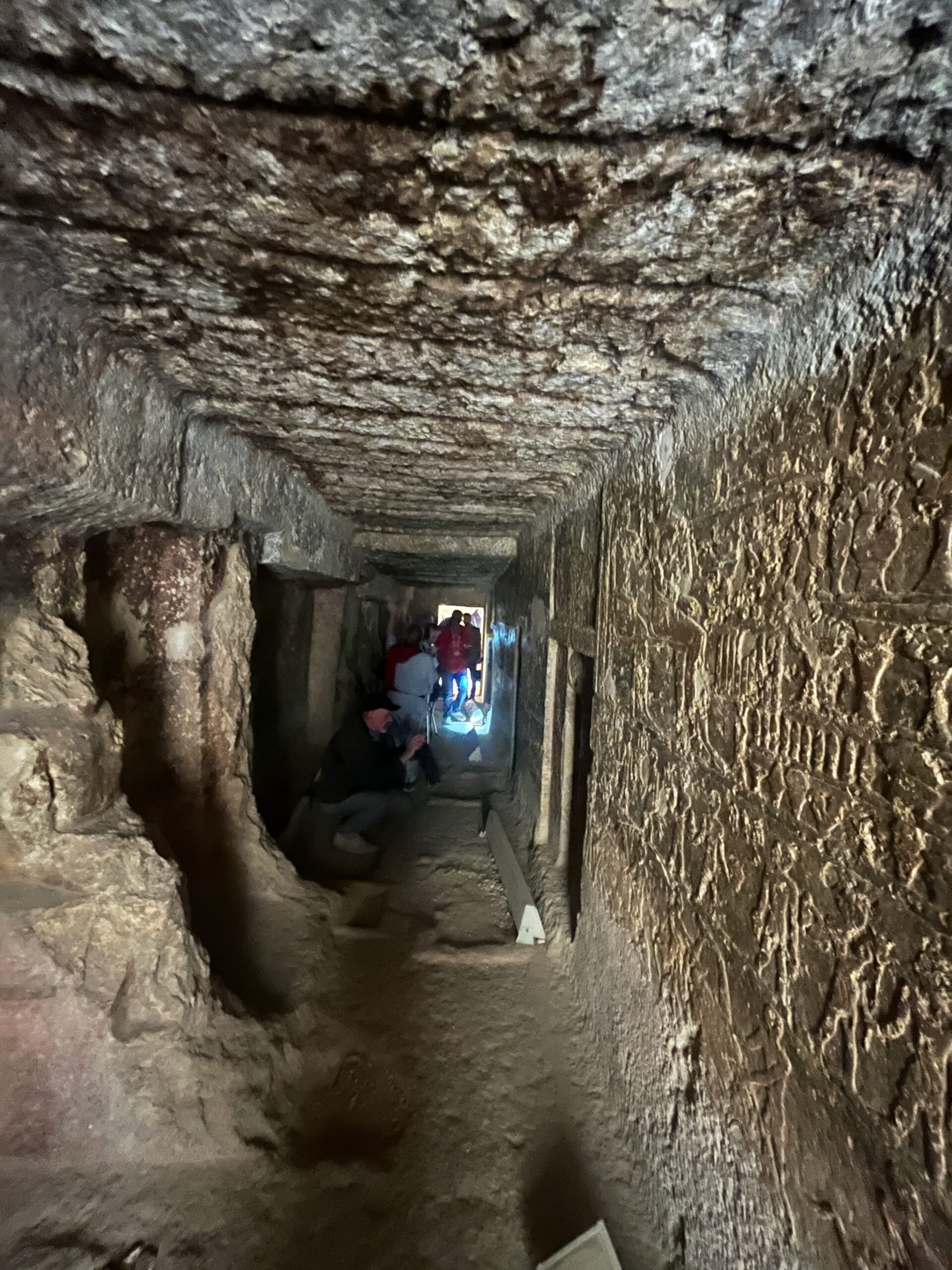
Above is one of two wells (or cisterns) located in the first court. These were likely used for ritual purification as worshippers (mostly priests) transitioned from the profane world into the sacred world of the temple. Below, our crew is transitioning from the second forecourt into the temple interior, The columns contain images of Seti 1 with various gods, completed by his son, Ramses 2. Seti died before the front portion of the temple was completed, and the work commissioned by Ramses is much poorer quality. You can distinguish Seti’s reliefs from Ramses by the depth of the sunk relief (Ramses) vs. the finely executed details of Seti’s work.

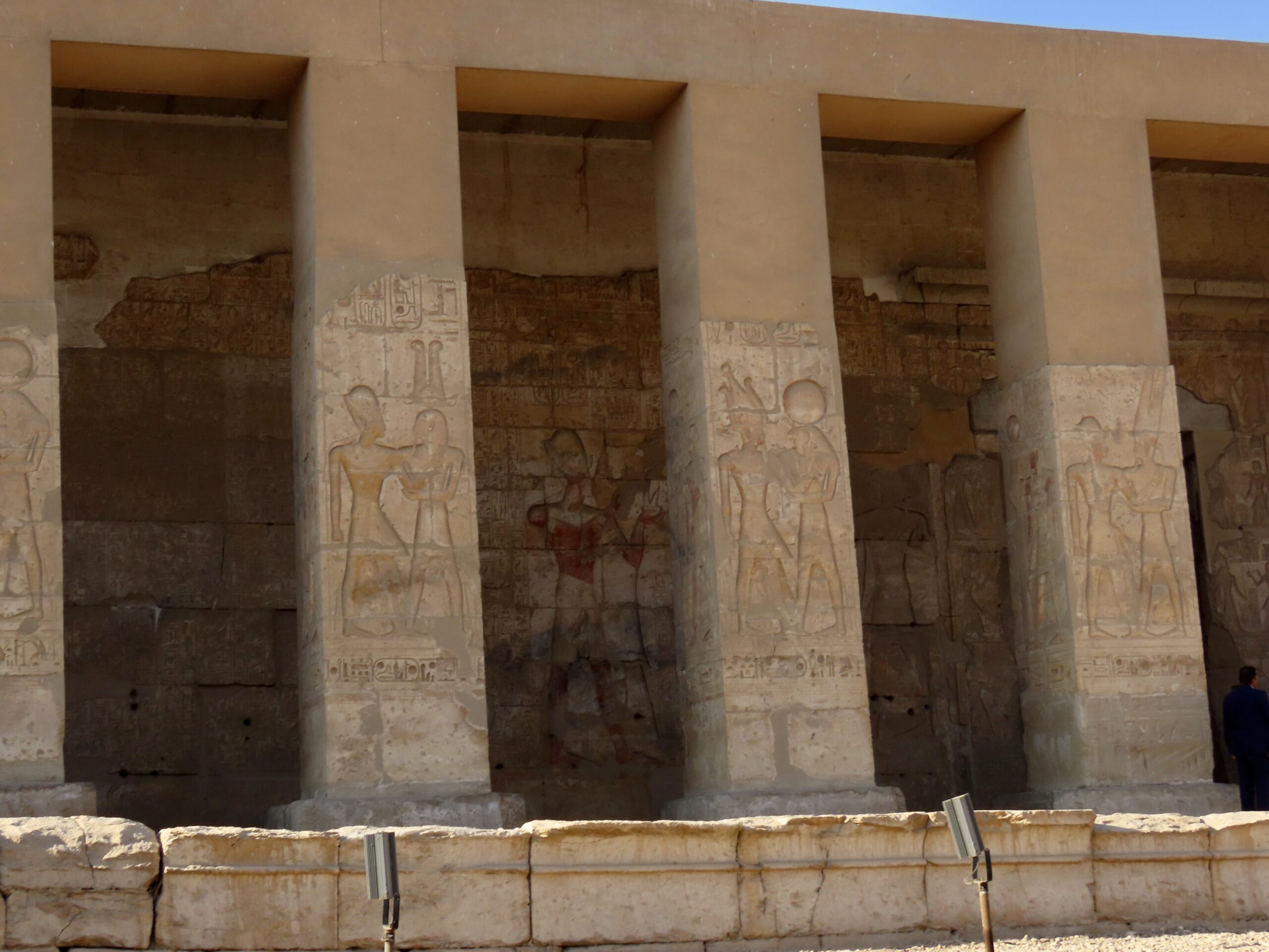


tThe interior of the temple includes two pillared (hypostyle) halls with walls, columns and ceilings covered in both “raised relief” and “sunk relief” (like the deep carvings around figures on the exterior.) The raised relief was done under Seti 1: it is delicate and exquisitely executed. The sunk relief is Ramses 2’s work: quickly executed and more clumsy in execution – like most of his building work around the country. Seti seems to have invested in quality, Ramses in quantity (while also re-appropriating many monuments and statues to himself).
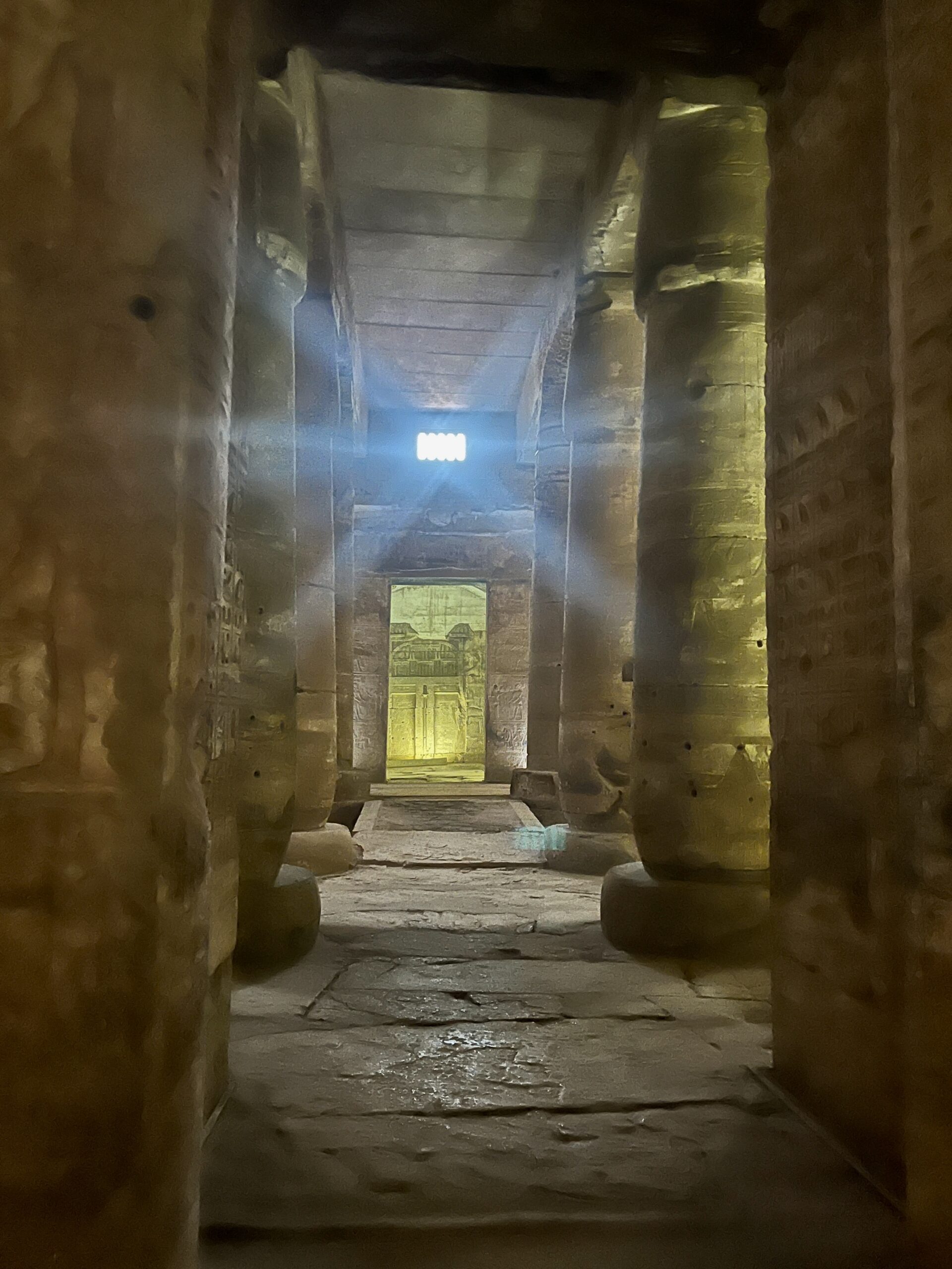
The reliefs were brightly painted in antiquity, and traces of pain remain in places. Egyptian temples were deliberately kept dark , but note how the ancient architects used light to highlight features in the interior.


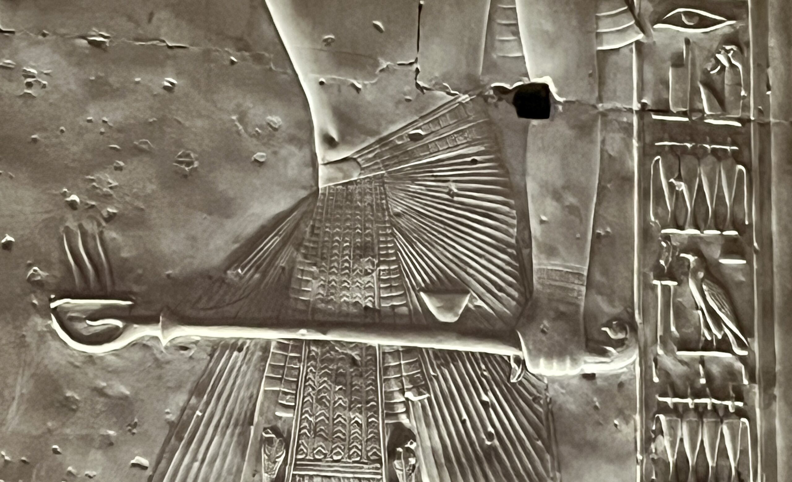
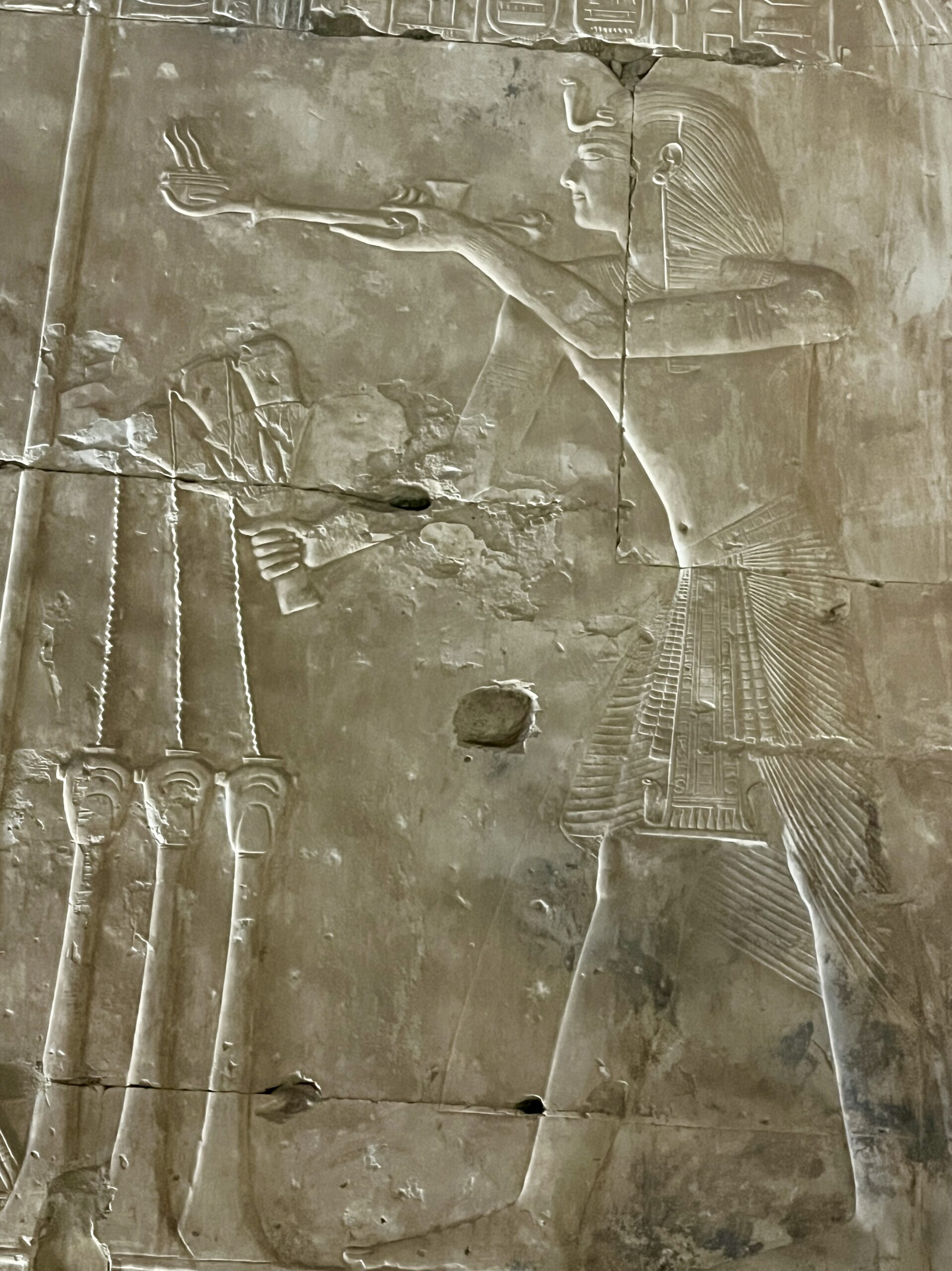
Below a selection of sunk and raised reliefs in the hypostyle halls.

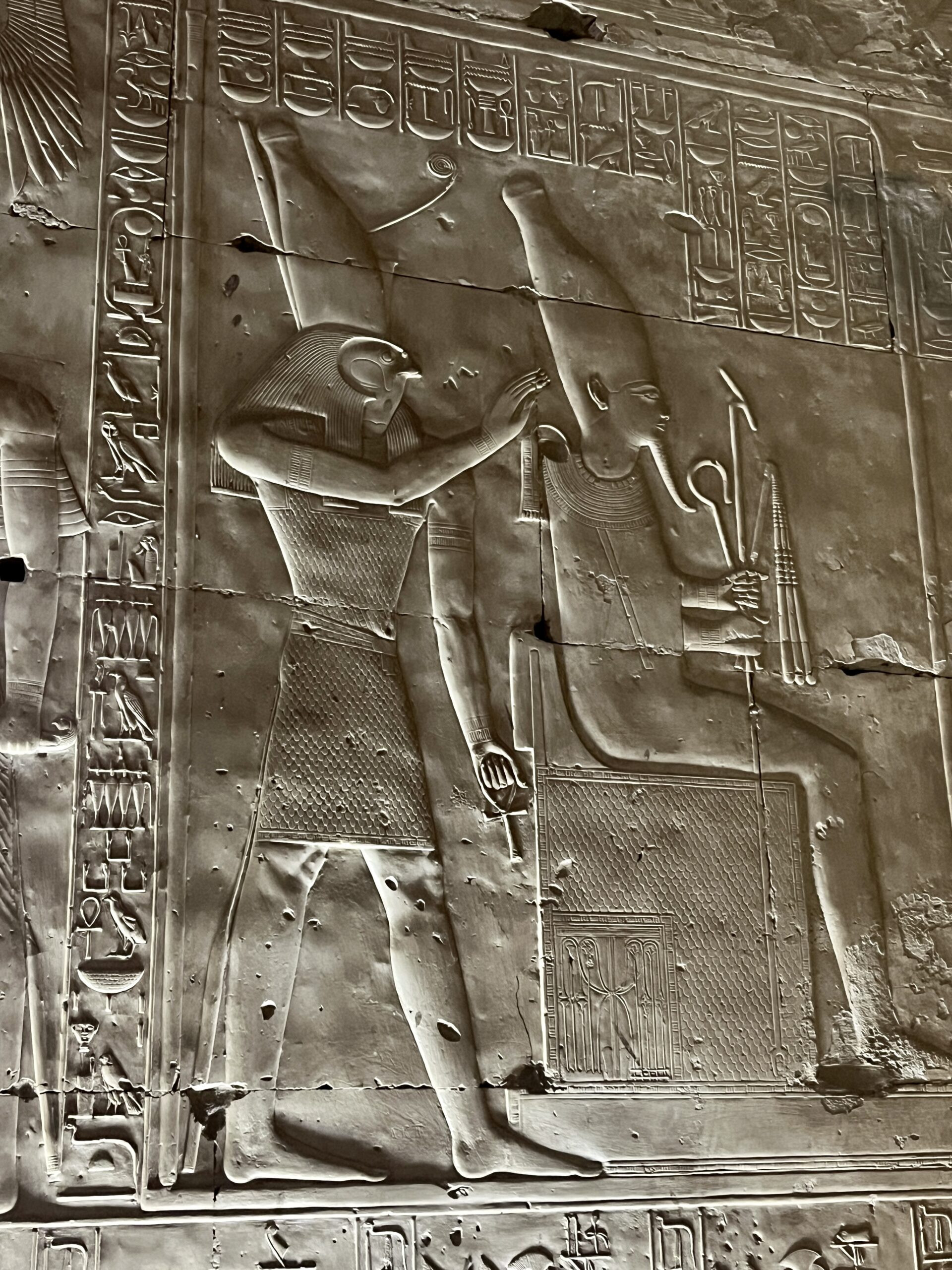


Some reliefs along the back wall of the second hypostyle hall. The doorways lead to chapels.


In the early Christian era, people used the temple as living space. Smoke from their cooking/heating fires blackened the ceilings.

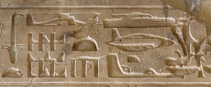
One amusing feature found on the ceiling is a set of hieroglyphs depicting a what looks like helicopter above three more amorphous shapes identified by some as an airplane, a submarine and a flying saucer. Egyptologists have a straightforward explanation for this bit of sci-fi: it is a “palimpsest,” or “an object or area that has extensive evidence of layers showing activity or use.” Seti 1’s artists worked right to left when carving reliefs on the ceiling. After Seti died and Ramses 2’s artists completed the work, they worked from left to right. The two lines met at the palimpsest. Ramses’ sculptors reworked some images and plastered over others; when the plaster fell, these amorphous images emerged. The “creative” explanations are more fun – like this one, which relies on everything from Egyptians’ fear of chaos to geometry and the Golden Mean, concluding that there was an advanced prehistoric civilization…from this planet or somewhere else…?
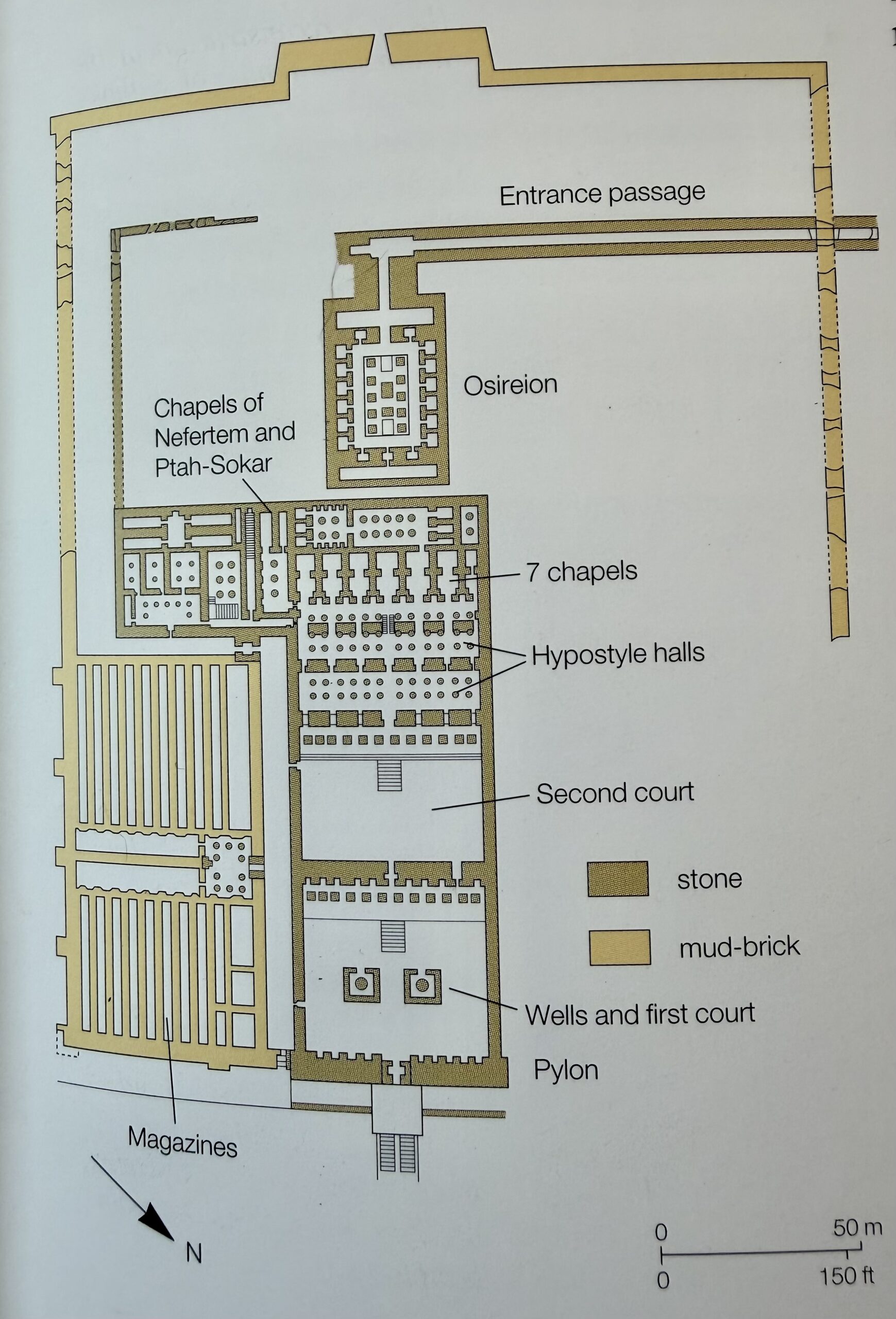
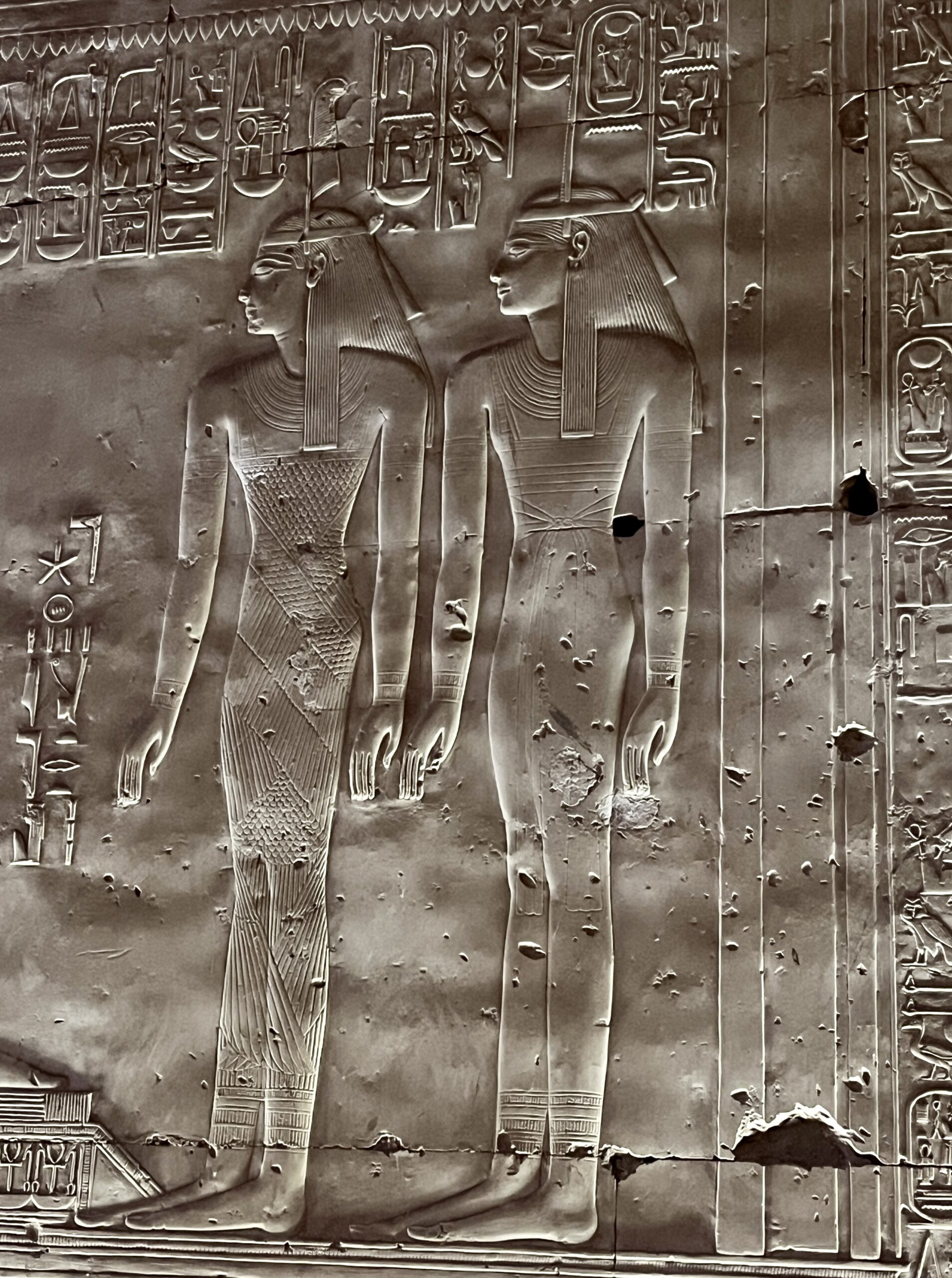
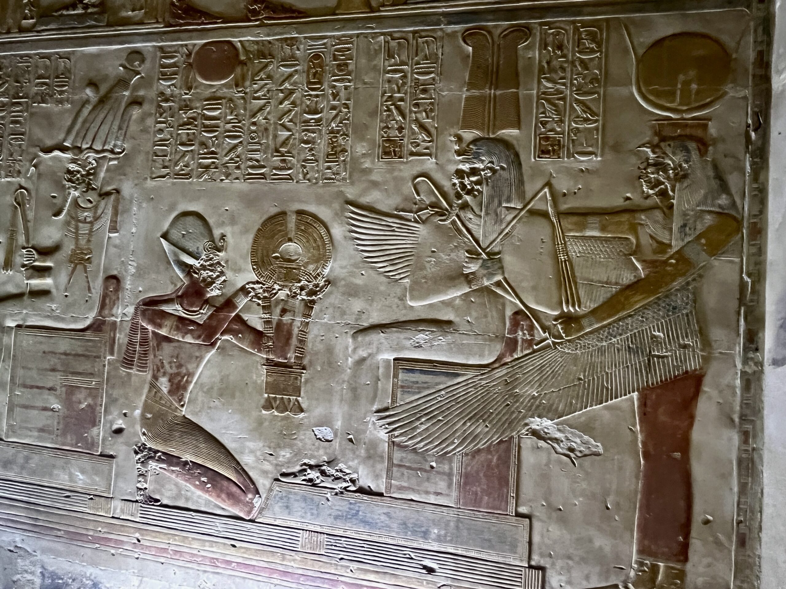
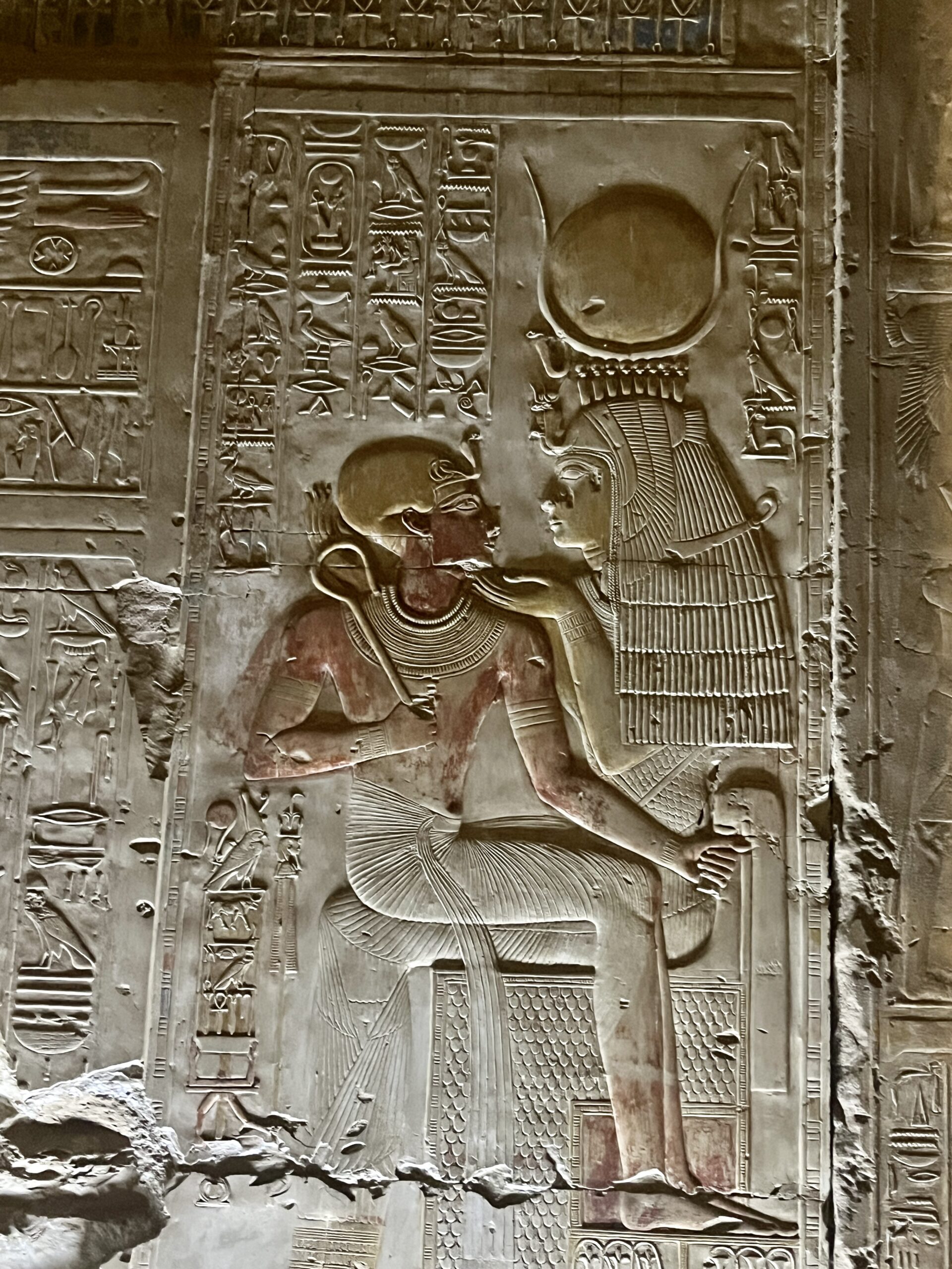
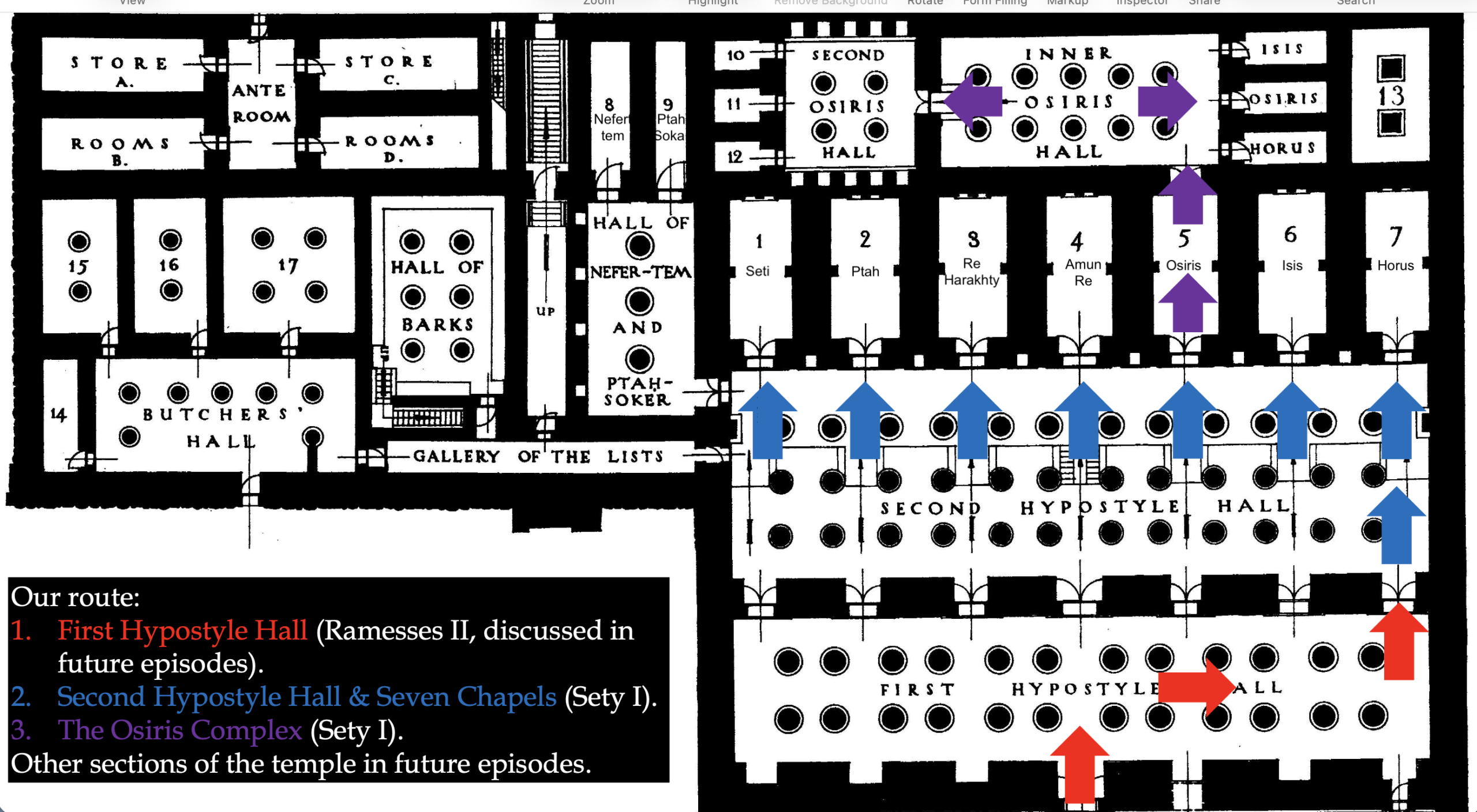
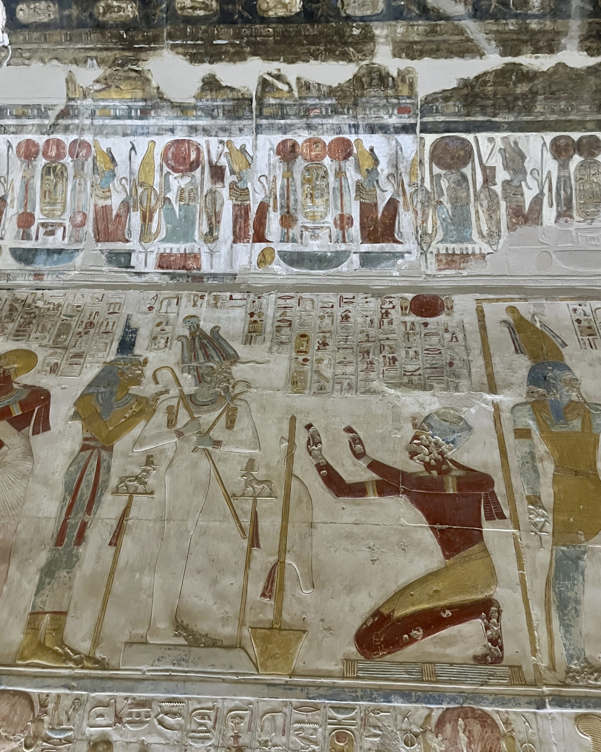
There are seven sanctuaries behind the hypostyle walls, dedicated to Seti 1 and six deities who were especially important in the New Kingdom: Osiris, Isis, Horus, Amun-Re, Re-Horakhty, and Ptah. Behind these sanctuaries is a long gallery with side chapels dedicated to Isis, Osiris and Horus (their son); beside the seven sanctuaries is another hall dedicated to the deities Nefertem and Ptah-Sokar. All of these sanctuaries, halls and chapels are meant to accomplish several key objectives: deify Seti 1 and make him the equal of the gods; ensure his eternal resurrection in the afterlife; and ensure that Seti and the other deities maintained the cosmic order (Ma’at). (I am reminded of the architectural endeavors of a certain US president – except for the part about maintaining cosmic order.) The temple must have been a very busy place.
Below is the doorway to the chapel of Amun-Re.


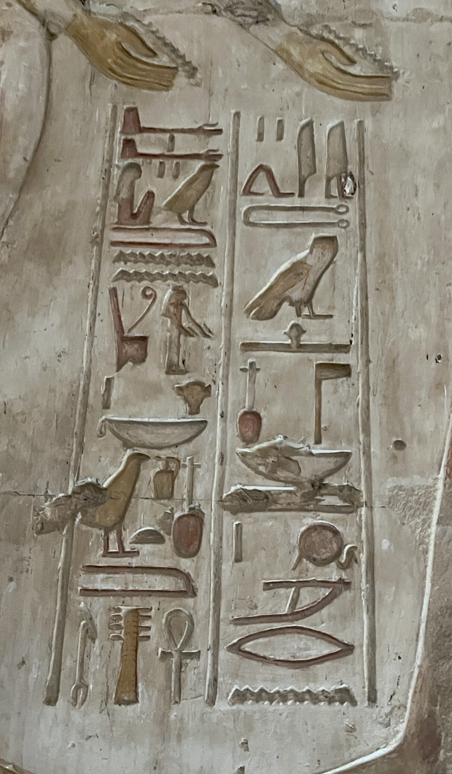
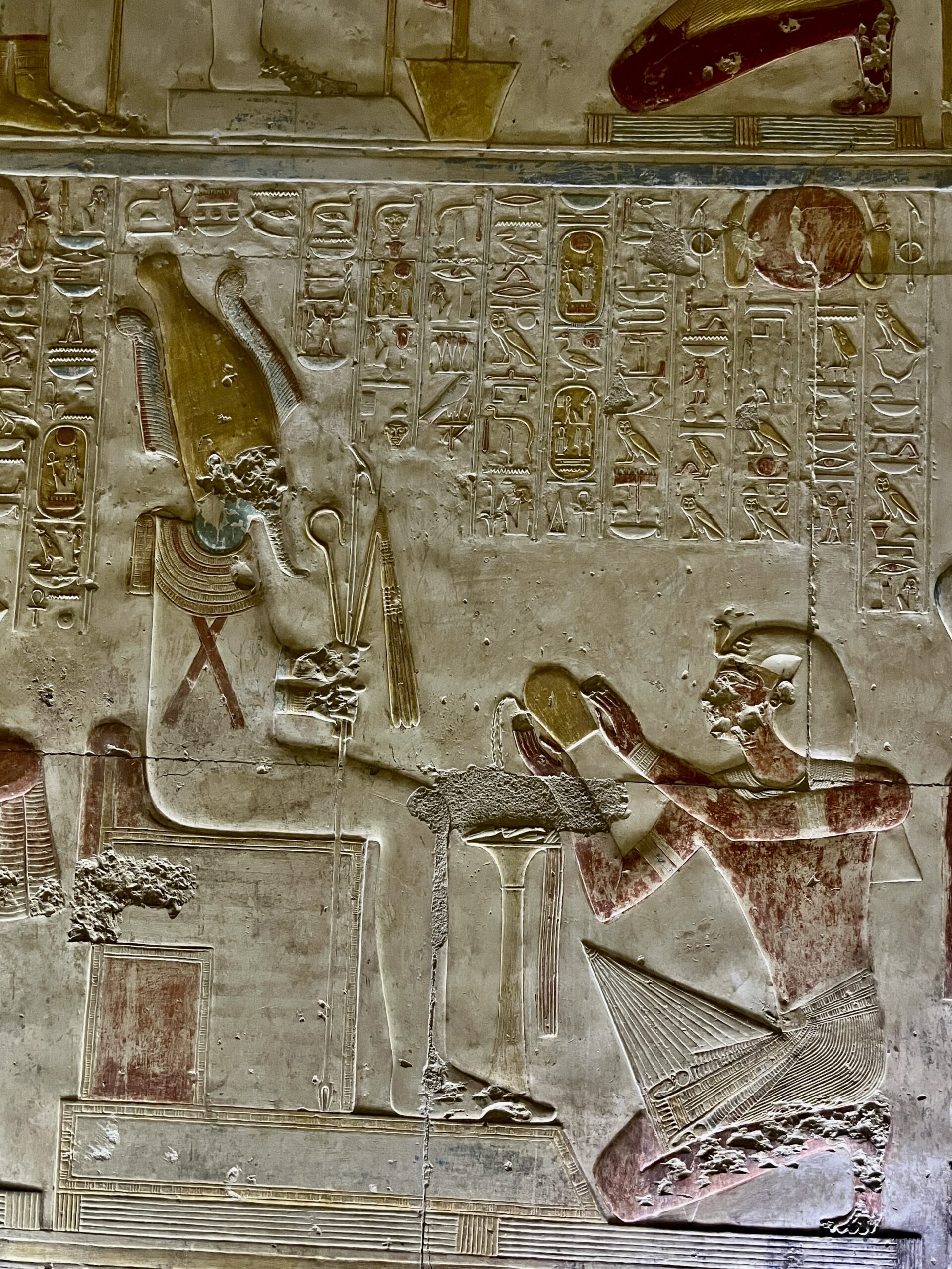
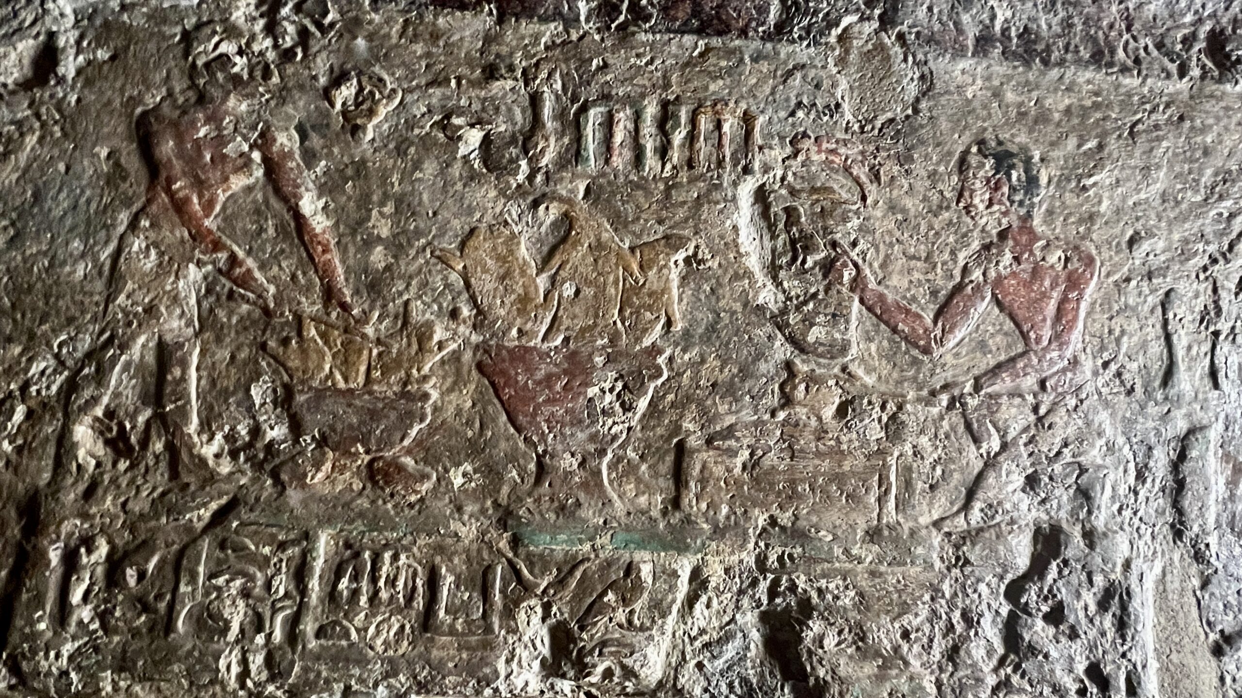
Below are some images from the Seti 1 chapel, showing Seti undertaking rituals used by the priests in their daily service to the gods. There would have been a shrine, with doors, at the back of this chapel containing a statue of the god. Each morning, priests would open the shrine; burn incense to purify the space and awaken the god; remove robes placed on the statue the day before; clean surfaces of oils and perfumed unguents; clothe the god in new robes and perfumes; adore the god with offerings of natron, cloth, water food and jewelry; burn more incense, encircling the statue; then close the doors and end the ritual. The food and cloth offerings were “recycled” for use by priests and other temple personnel.


Amr identified a bit of graffiti outside the Osiris chapel with a bit of history I had never heard. Scratched onto the wall is the name of Horwennefer, a rebel pharaoh who liberated Upper Egypt (the southern provinces) from the Ptolemiac Greek rulers installed by Alexander in the 3rd century BCE. Horwennefer’s name is written in a very early example of Coptic, which uses Greek letters (with some additions) to phonetically capture the ancient Egyptian language.
Horwennefer and his son Ankhwennefer successfully controlled the south (including middle Egypt) from about 205 -186 BC. Amr noted: “This war is directly responsible for the creation of the Rosetta Stone as it is a decree issued by the priests in Memphis in 196 BC to honor Ptolemy V for his victories against these very rebels. It specifically thanks him for crushing the “enemies” who had led the internal sedition. Ptolemy was bribing the priests to support him instead of Horwennefer.”


The decree contained in the Rosetta Stone exempts the priesthood from taxes and confirms other priestly privileges, while committing Ptolemy 5 to contribute towards temple construction and upkeep. The priests agree to certain liturgical requirements, including showing a copy of the decree in all temple sanctuaries to demonstrate Ptolemy’s piety. As Amr noted, the decree also boasts about Ptolemy’s military victories over the rebels and depicts him as a legitimate Egyptian pharaoh in Memphite tradition.
The Rosetta Stone itself is written in three languages: hieroglyphs, demotic (the shorthand/cursive version of hieroglyphs in use in the late stage of Egyptian history), and Greek, the language of the ruling elites, including the Ptolemies (who, with the exception of Cleopatra 7 – the famous one – never bothered to learn Egyptian). Hieroglyphs were eventually deciphered by mapping them to the Greek and demotic text, and through Champollion’s realization that Coptic (used in Christian rituals) was the direct phonetic descendant of ancient Egyptian.
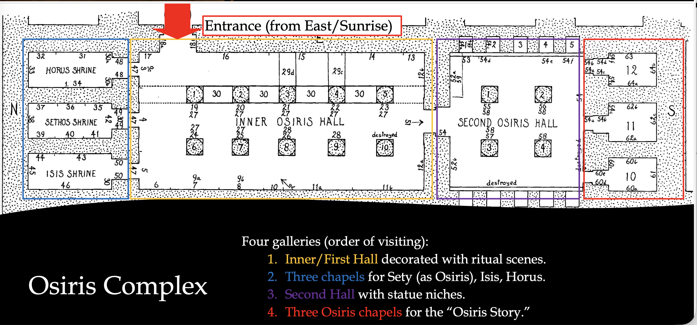
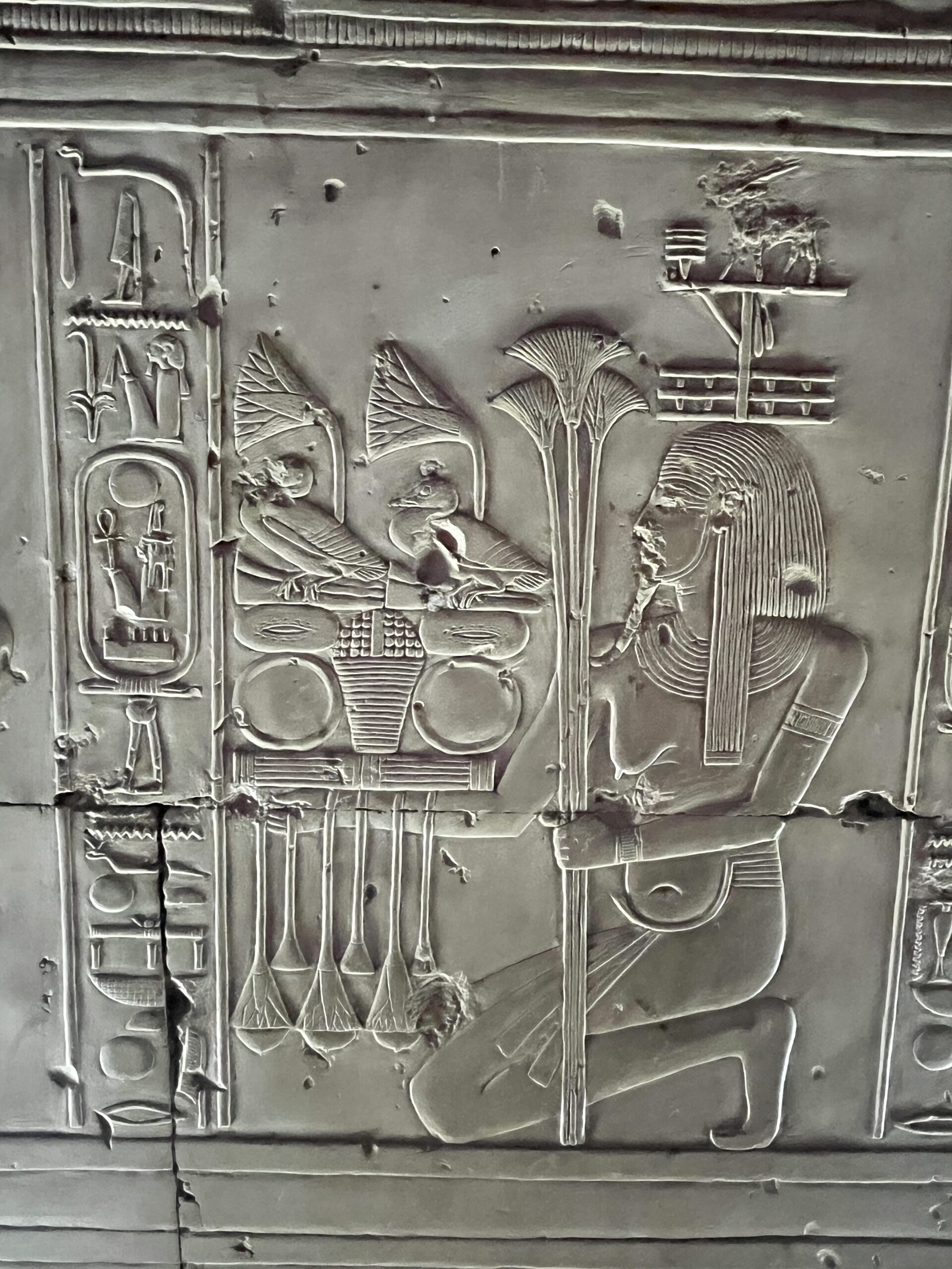
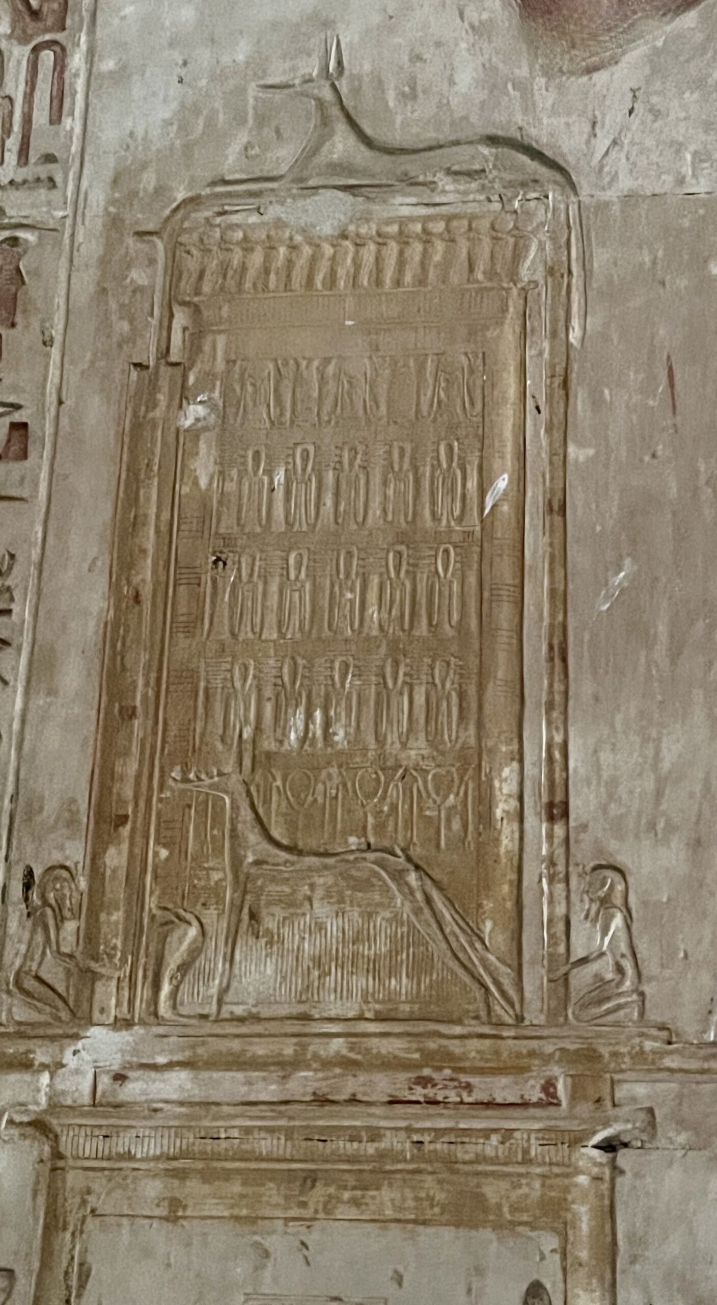
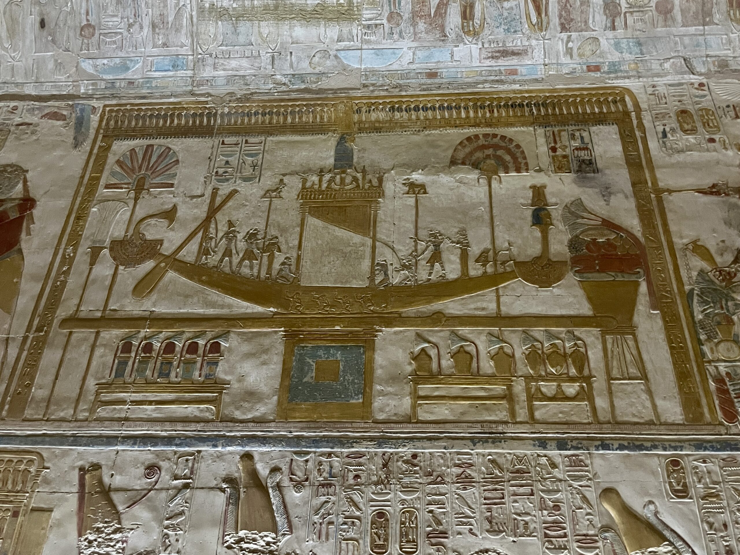
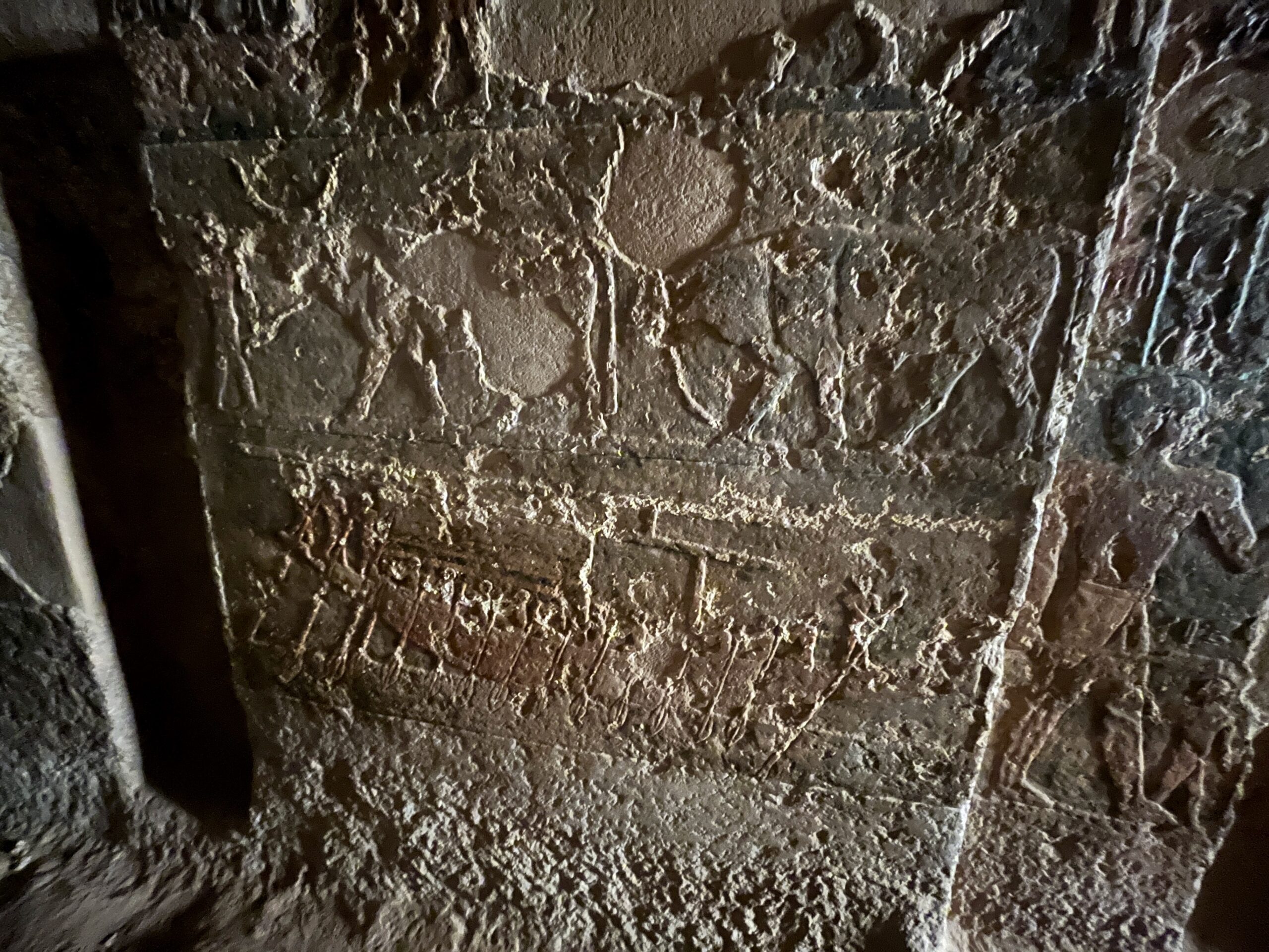
Behind the seven chapels is a large complex dedicated the Osiris triad – Osiris, Isis and Horus – plus Seti 1. Like the annual “passion play” procession to the tomb of Djer/Osiris along the sacred way (see yesterday’s post) the Osiris story is re-enacted on the walls of this complex. Preservation is not as good in this part of the complex, but there are some interesting bits. The work of early Christians is evident in the chipping out of Osiris’ erect phallus from one of the scenes relating Isis’ magical impregnation on her husband’s corpse. The ancient Egyptians were anything but prudes, and saw physical procreation as an important analog to resurrection in the afterlife. (Slide from Perry.)


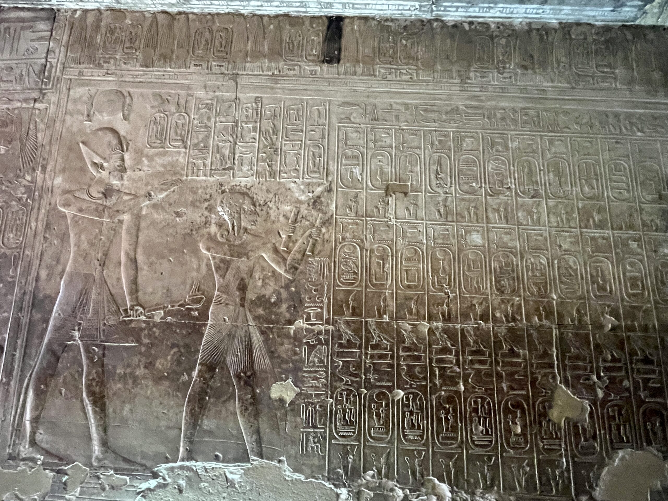
The stairway to the left of the Nefertem chapel (more or less in the center of the temple) is known today as the Gallery of the Kings. Its north wall of the contains a chronological list of 76 rulers from the First Dynasty to Seti I, carefully curated to exclude rulers that these Ramesside upstarts considered illegitimate. Those omitted include all rulers of the First and Second Intermediate Periods, plus selected 18th Dynasty rulers: Hatshepsut (a woman – can’t have that), plus all rulers of the Amarna period: Akhenaten/Amenhotep IV (the heretic king, whose memory was systematically excised all across Egypt); Smenkhkare (shadowy co-regent/successor); Neferneferuaten (probably another female pharaoh, possibly Nefertiti, who ruled briefly); Tutankhamun (who restored the traditional cults); Ay (possibly Tut’s grandfather); and Horemheb (the military leader who took the throne after Ay’s death). Horemheb’s omission is puzzling, since he legitimized the Ramesside line: Horemheb selected Seti 1’s father, Ramses 1 (a fellow general) as his successor.

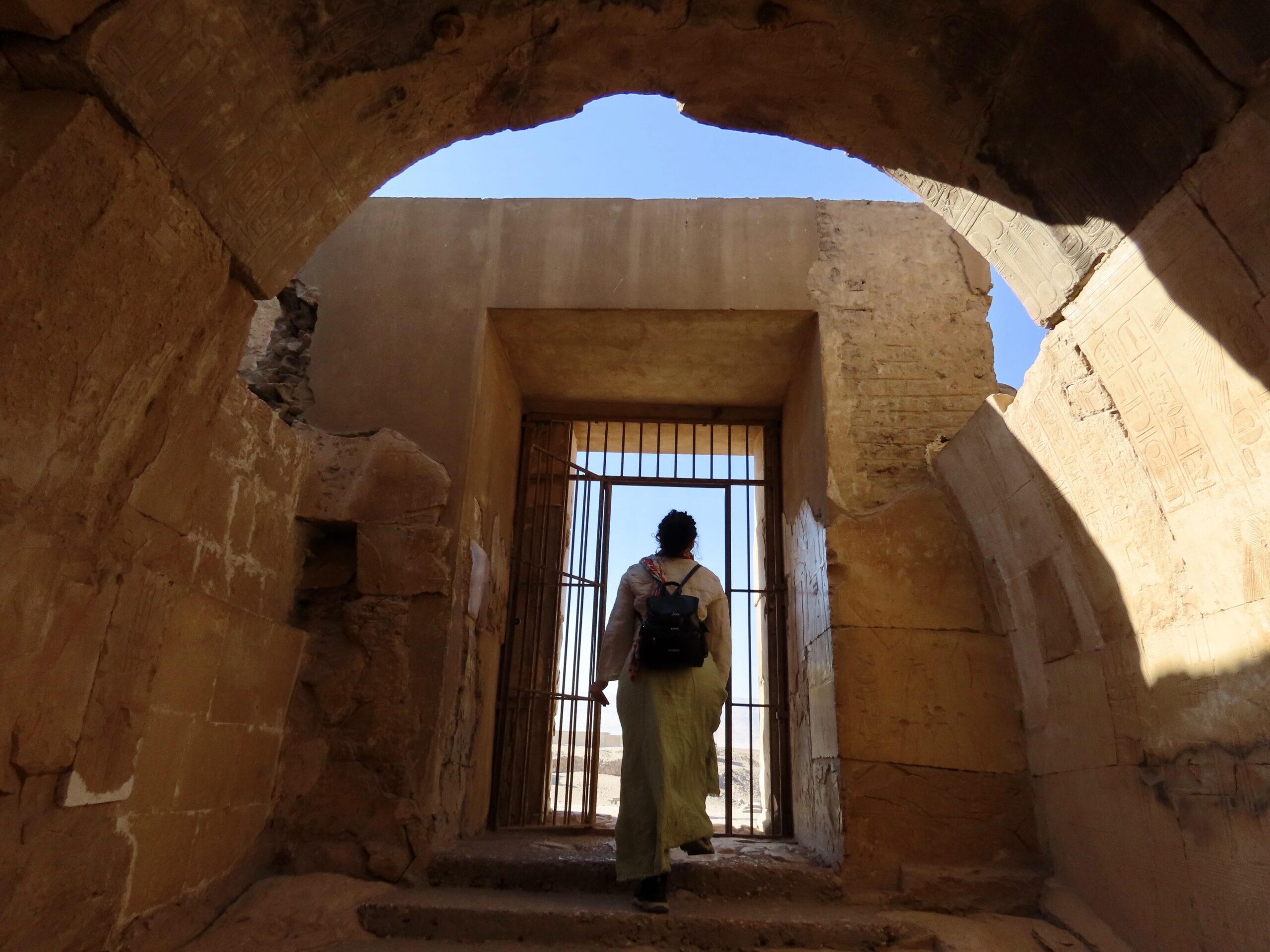
The King’s Gallery stairway leads outside and behind the temple to an enigmatic feature known as the Osirieon – another of those places that has prompted gallons of ink from both Egyptologists and Pyamidiots.


The Osirieon is an underground structure that appears to be related to the annual Osiris rituals. Its construction follows the plan of New Kingdom royal tombs, and it is oriented generally towards the Osiris processional route across Abydos’ Sacred Landscape. Some believe it may have been a cenotaph for Seti 1; others, that it is a symbolic tomb for Osiris. Once again, Dominic Perry provides an excellent in-depth look at this strange structure and its excavation history.
Here is Wolfram’s succinct summary of what is known:
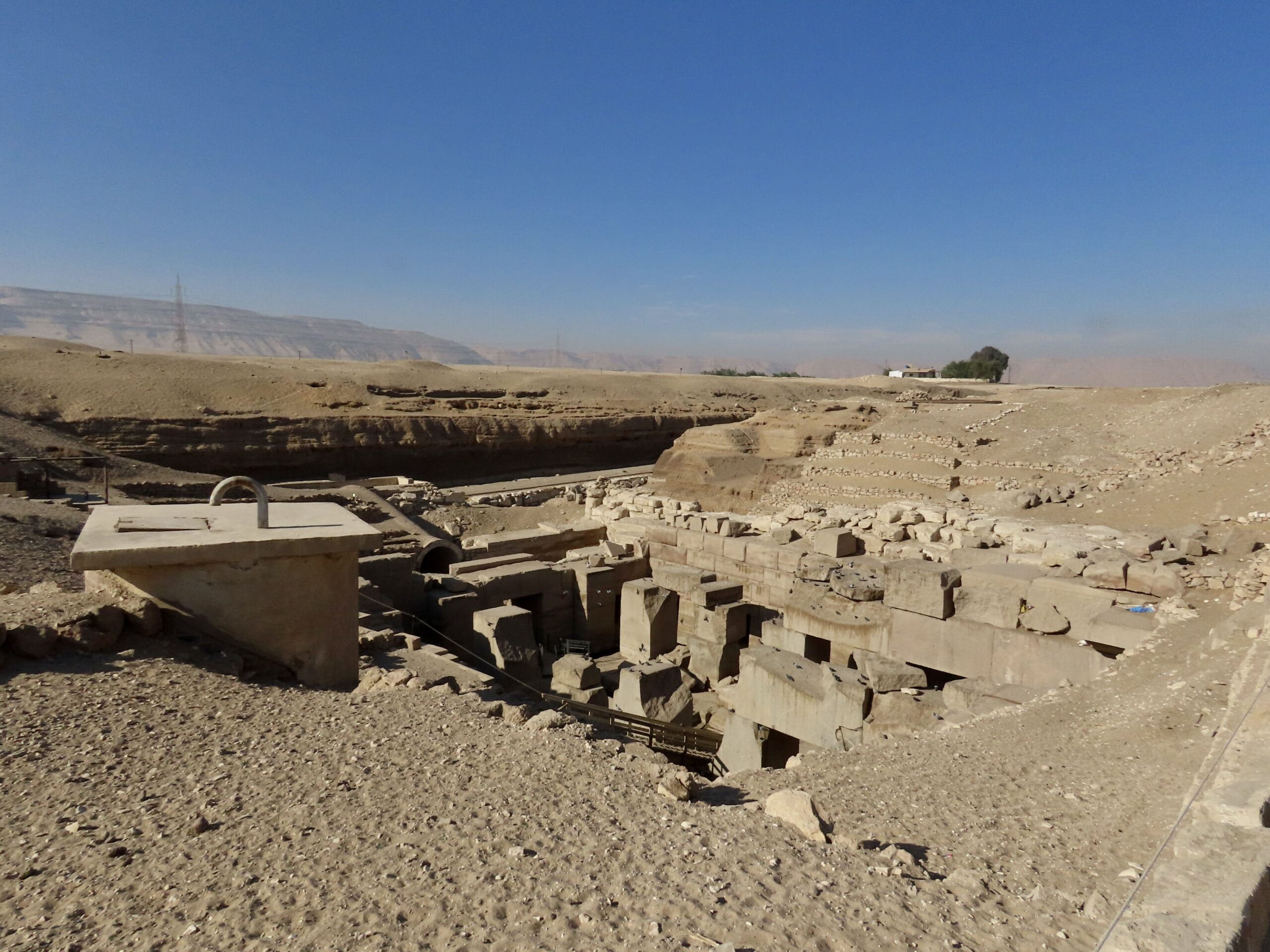
An ancient, enigmatic subterranean structure is located behind the main temple. It was built to resemble a royal tomb and it is believed to be a symbolic tomb, or cenotaph, for the god Osiris. The structure was built at a much lower level than the Seti temple suggesting a symbolic connection to the underworld. It is constructed from immense blocks of limestone, sandstone, and red granite, with some pillars weighing as much as 100 tons. These stones were transported hundreds of kilometres from Aswan and fitted together with remarkable precision without mortar.
The central hall features a raised island surrounded by a channel of water that connects to an underground water source. This is a powerful symbol of the “primordial mound” that emerged from the chaotic waters of creation in Egyptian mythology. The central island is lined with 10 large granite pillars that once supported the roof. A smaller, concealed chamber behind the central hall was the “sarcophagus” room but actually did not contain any coffin or sarcophagus.
Sadly, access to the interior is closed, and there is little to see beyond the ruins of the central hall. The House of Life has a reconstruction of this portion of the Osirieon in its healing centre (see yesterday’s post).


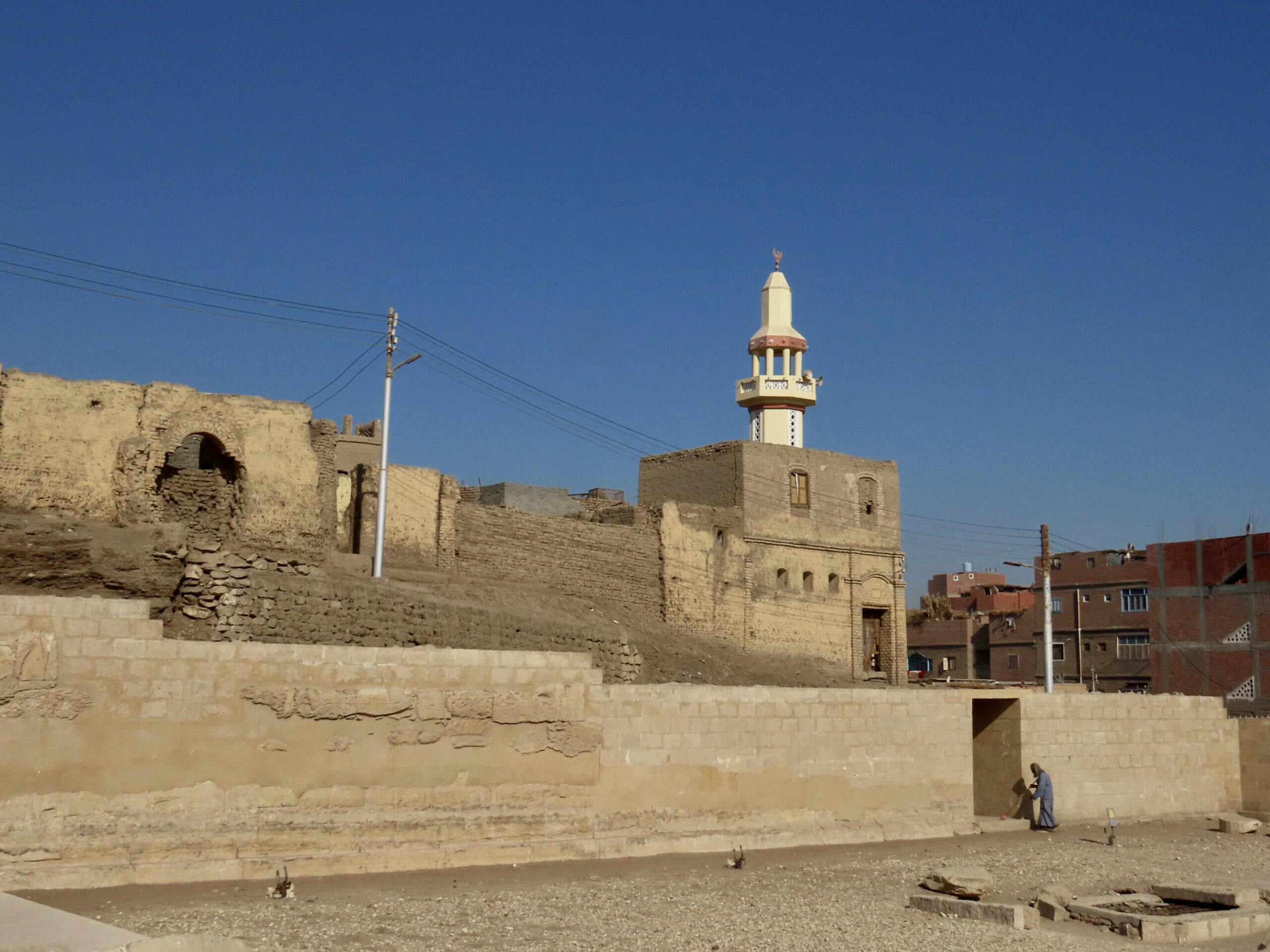
Completing our visit to the complex, our group made its way back through the temple to the House of Life for departure north. I opted to walk the few blocks to the hotel, and bought a couple of straw house charms from the kids hawking handicrafts.


North into Middle Egypt
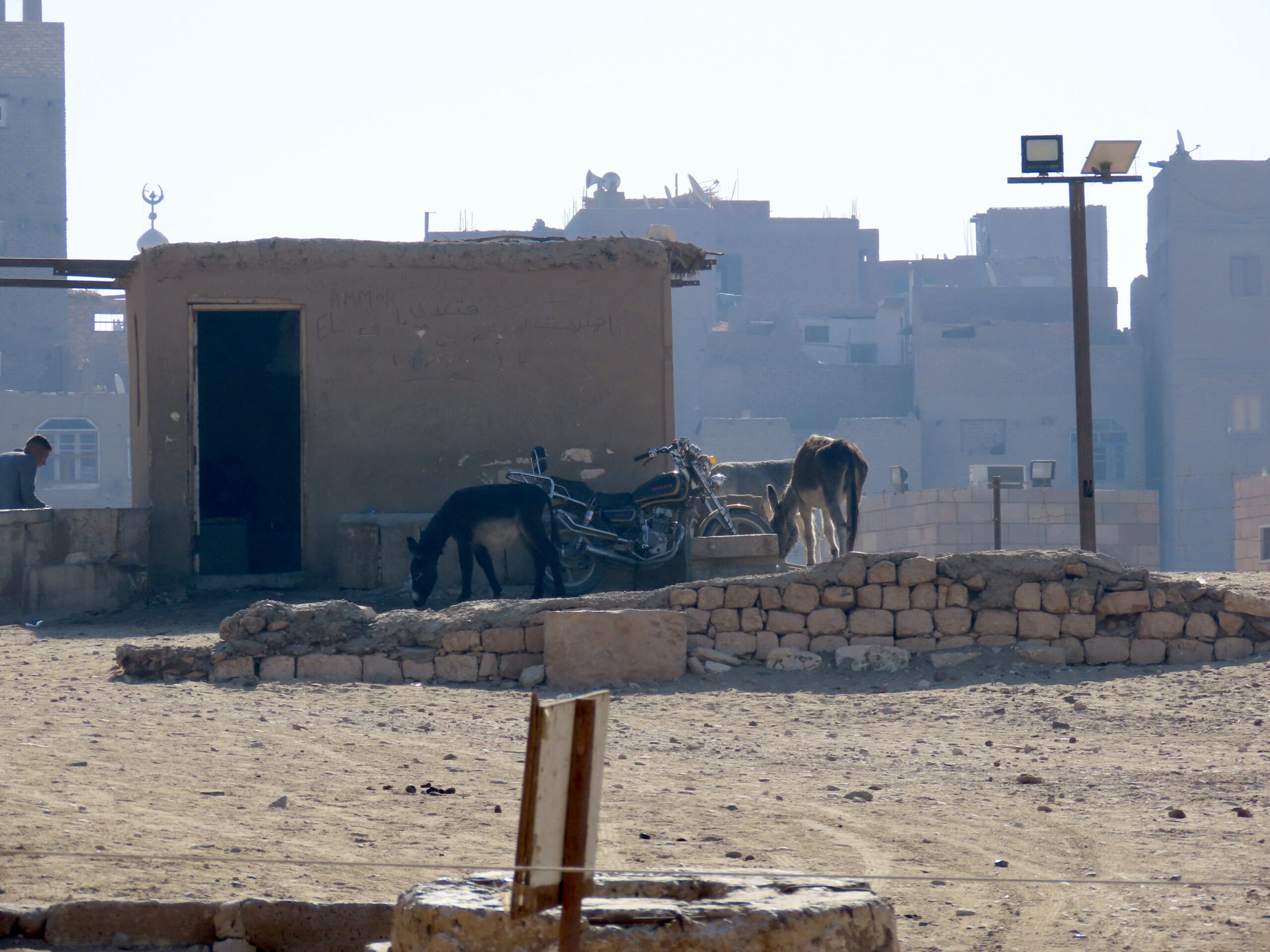
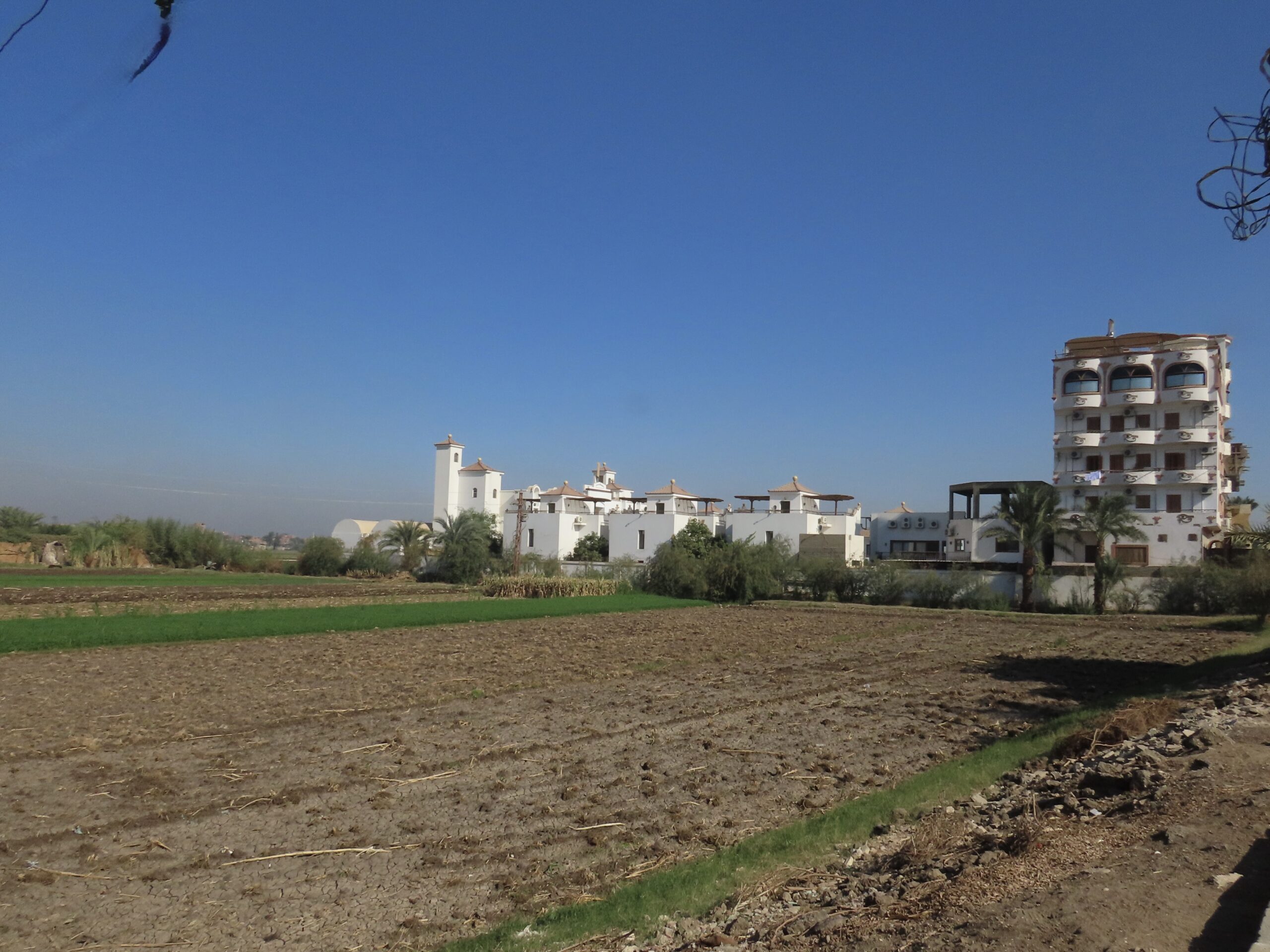
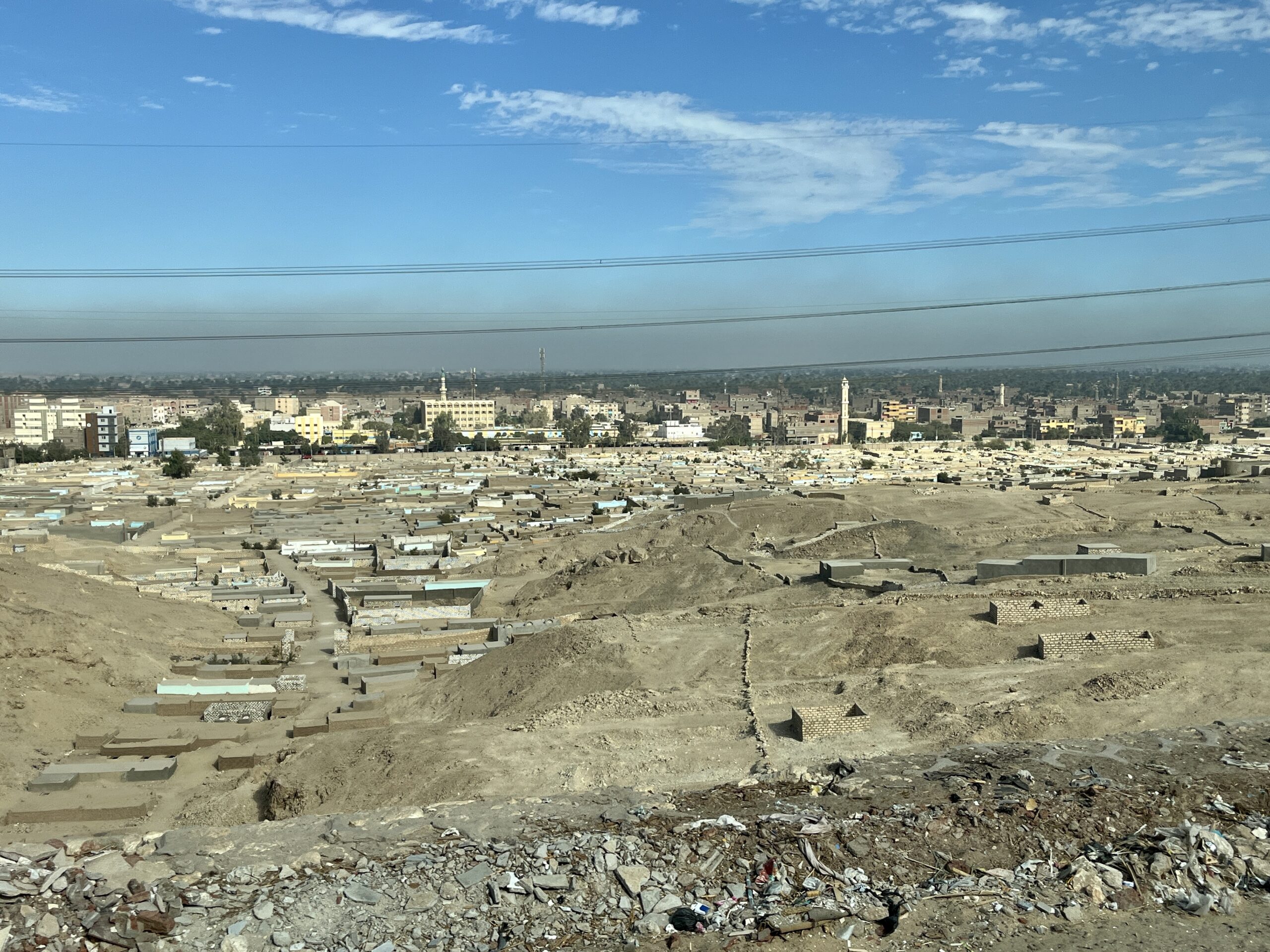
Once people and bags were safely stowed on the bus (along with our packed lunches), we drove north into Middle Egypt. Salah took us up the west side, along the desert fringe. Our destination was two cemeteries north of Sohag: Qaw el Kebir and el Hammamiya.


It was about a 2.5 hour drive, and we stopped midway at a gas station for a potty break.


The highway cut through steep limestone cliffs to emerge at Tima, where we crossed the Nile. Hills in this part of the valley are on the east, not west, so elite tombs are located on the Nile’s east bank.


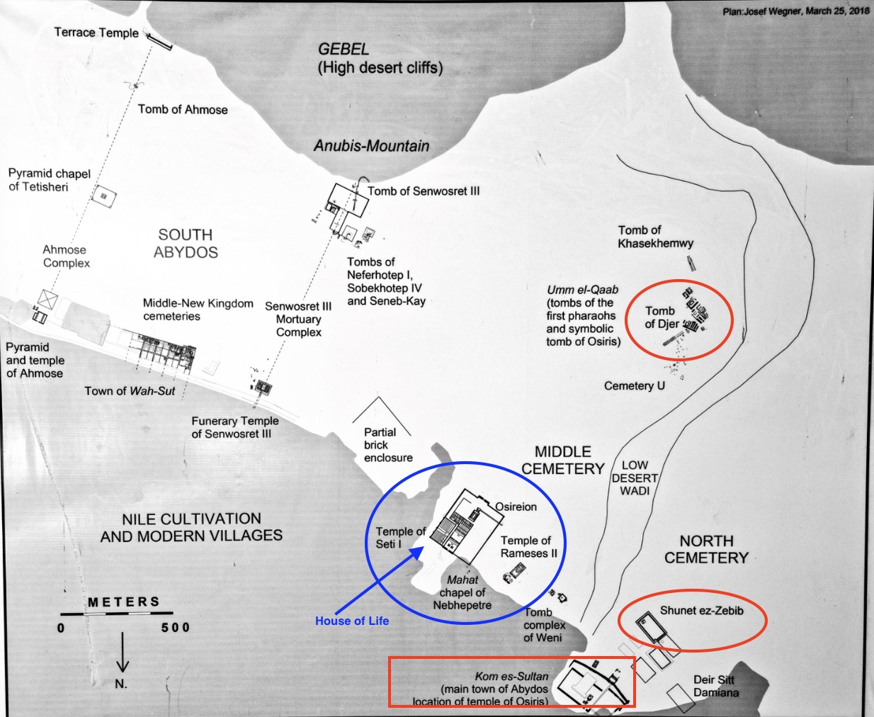
Middle Egypt in the Old and Middle Kingdoms
The Old Kingdom capital was at Memphis (part of greater Cairo today). As the Old Kingdom collapsed, power shifted to the provinces, where powerful men from elite families emerged as “governors” (our word for them) ruling independently over large swathes of territory. The most powerful governors were located in Middle Egypt, in provinces 10-16. (These provinces were called “sepats” in Egyptian, and “nomes” by the Greeks. Egyptologists tend to use “nomes”).

Ancient Egypt’s prosperity was tightly bound to the Nile’s annual floods, which watered the fields while depositing thick layers of topsoil rich in organic materials. Towards the end of the Old Kingdom, climate change led to long periods of low Nile floods, with resulting loss of crops, contributing to the destruction of central power. There is evidence of food shortages and even starvation in some parts of the country in the decades after the Old Kingdom collapsed.
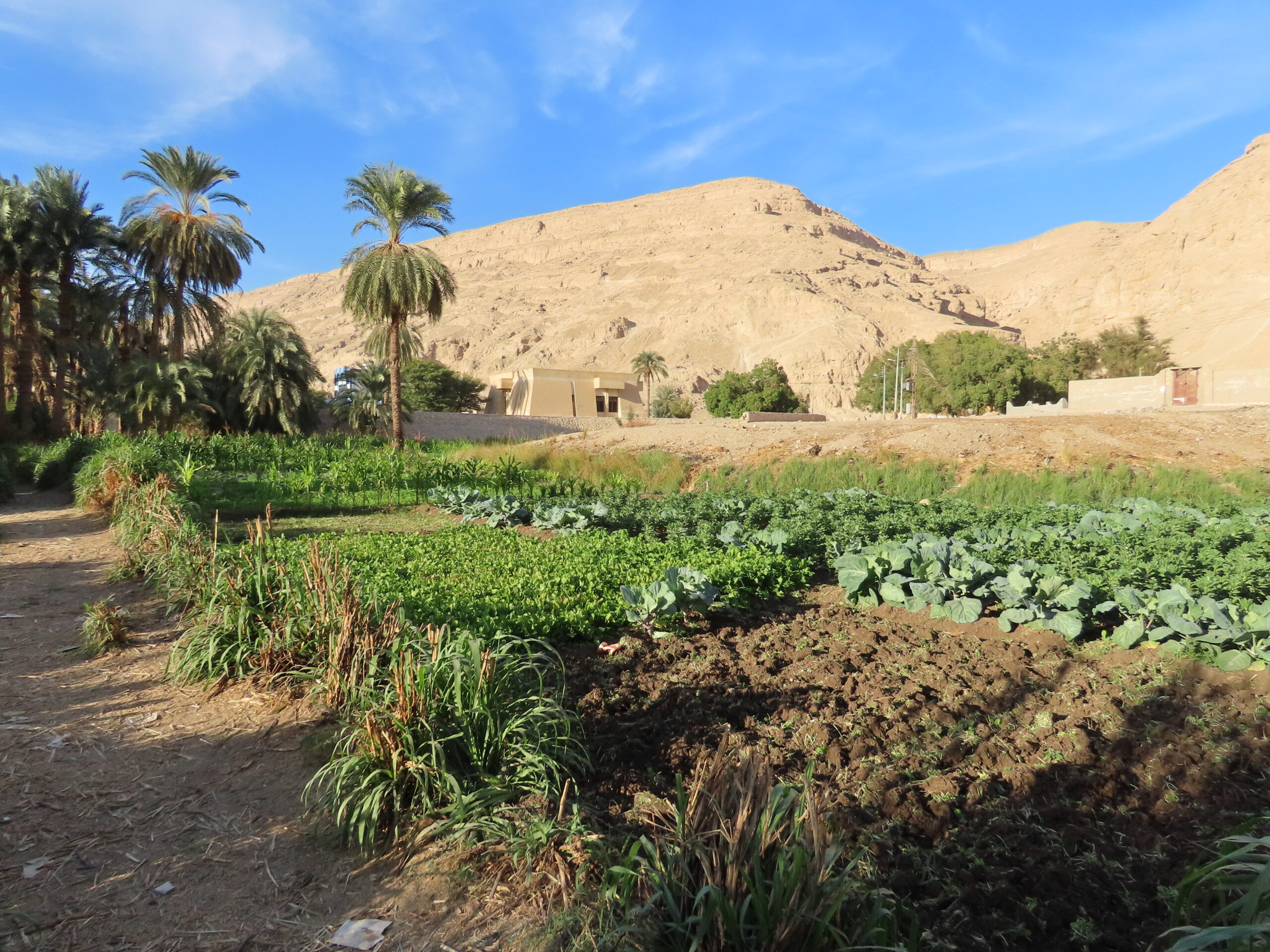
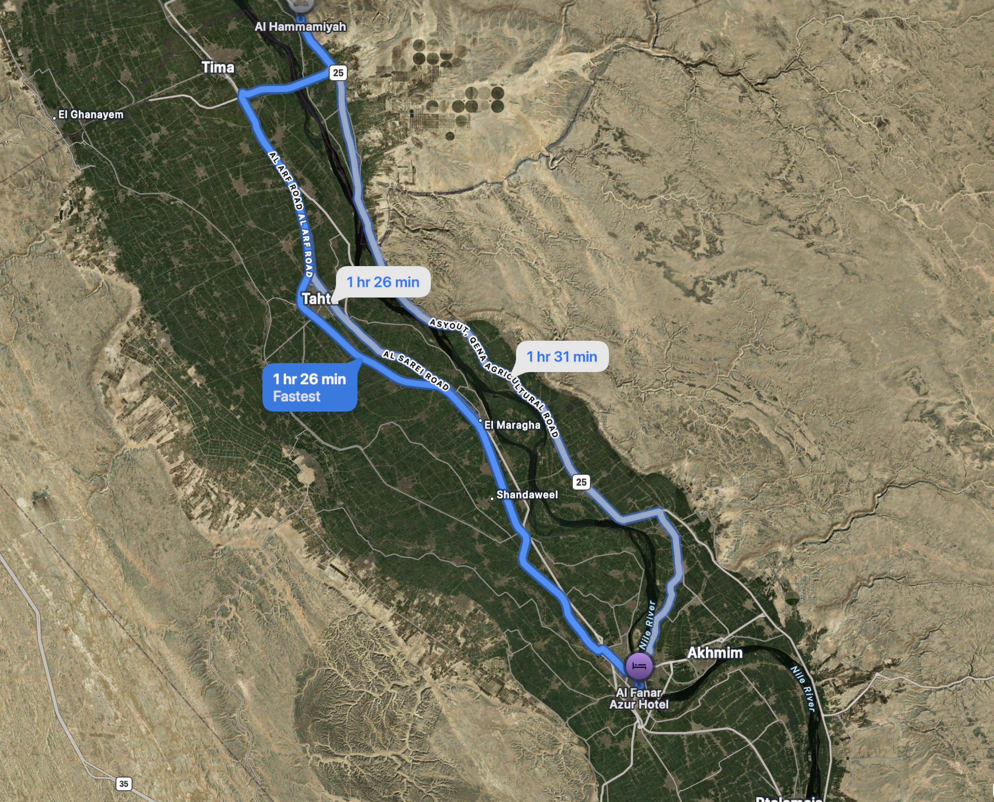
But these hardships were unevenly distributed. The Nile Valley is narrow in the South, with limited land available for agriculture. The river broadens north of the Great Bend, providing residents of these Middle Egyptian nomes with greater agricultural resources, which translates into economic power. Claude’s rather crude map illustrates this: at Thebes/Luxor the Nile Valley was only 14km wide. It broadens to 22km near Asyut (10th/11th nomes) and is 32 km wide at Minya/Beni Hasan (16th nome). There were powerful governors here from the late Old Kingdom to Middle Kingdom, and their tombs are the object of our visits over the next 2 ½ days.
I coaxed my new friend Claude (of Anthropic fame) to create a map to help explain why Middle Egypt was such a power base. (It was an interesting experiment.)

Qaw el Qebir
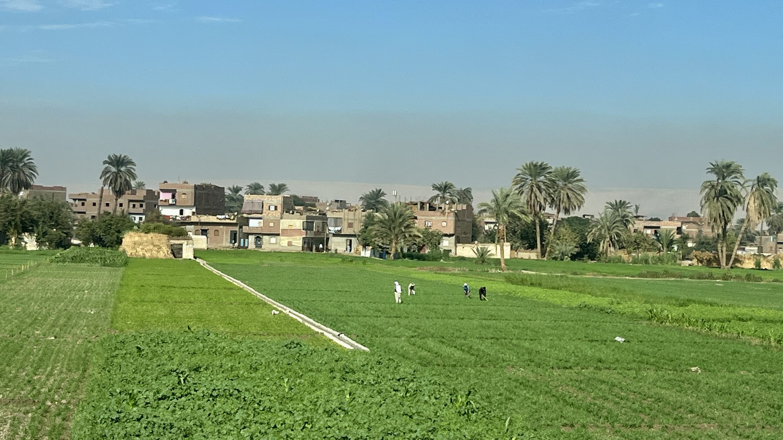
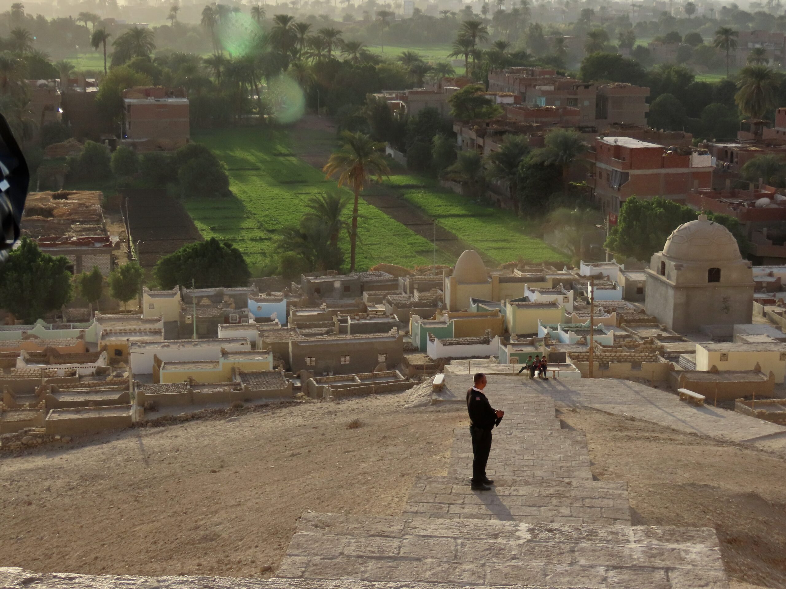
This afternoon, we are visiting the tombs of governors based at Tjebu in the 10th Nome. El Hammamiya was the cemetery of Old Kingdom elites; Middle Kingdom elites were buried at Qaw el Kebir. This was a very prosperous area: in addition to the area’s fertility, this location is a chokepoint on the Nile, making it easy to control trade. This prosperity is evident in the lavish tombs carved into the rocky hills.
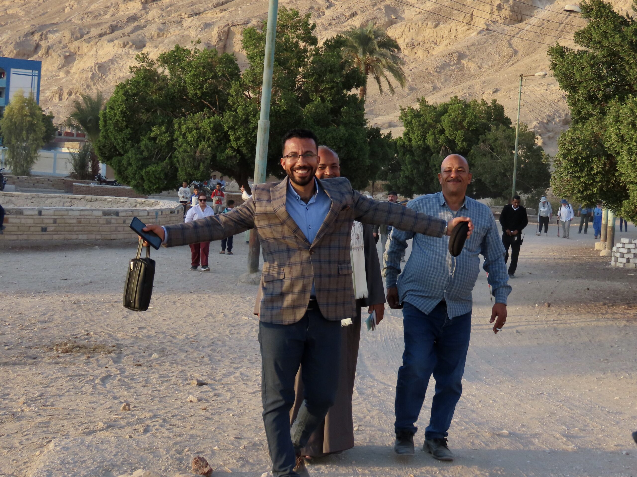
Although our first afternoon visit was Qaw el Kebir, we had to pick up our Inspector, Mohamed, at el Hammamiya, so drove there first, then backtracked to Qaw.

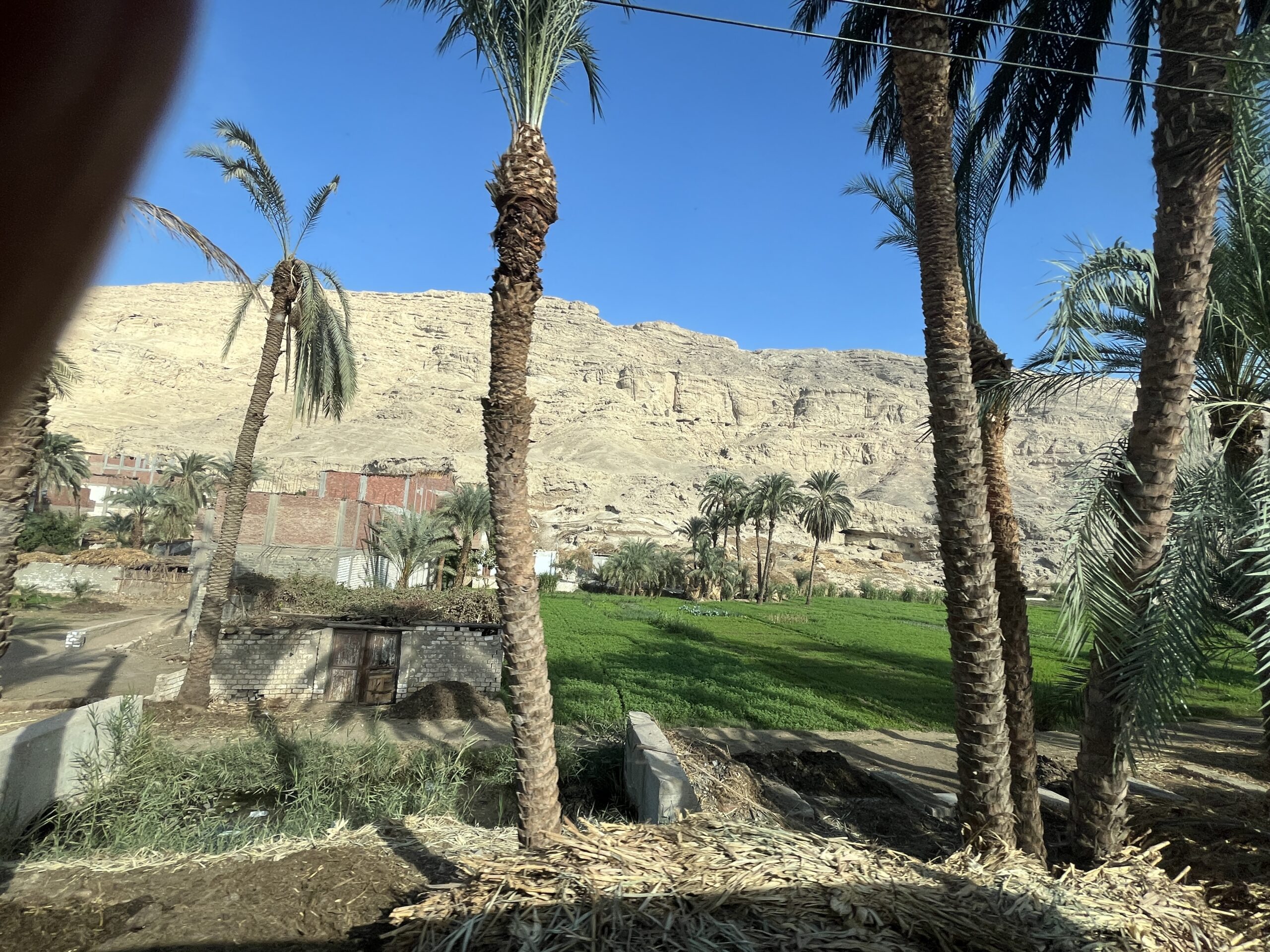

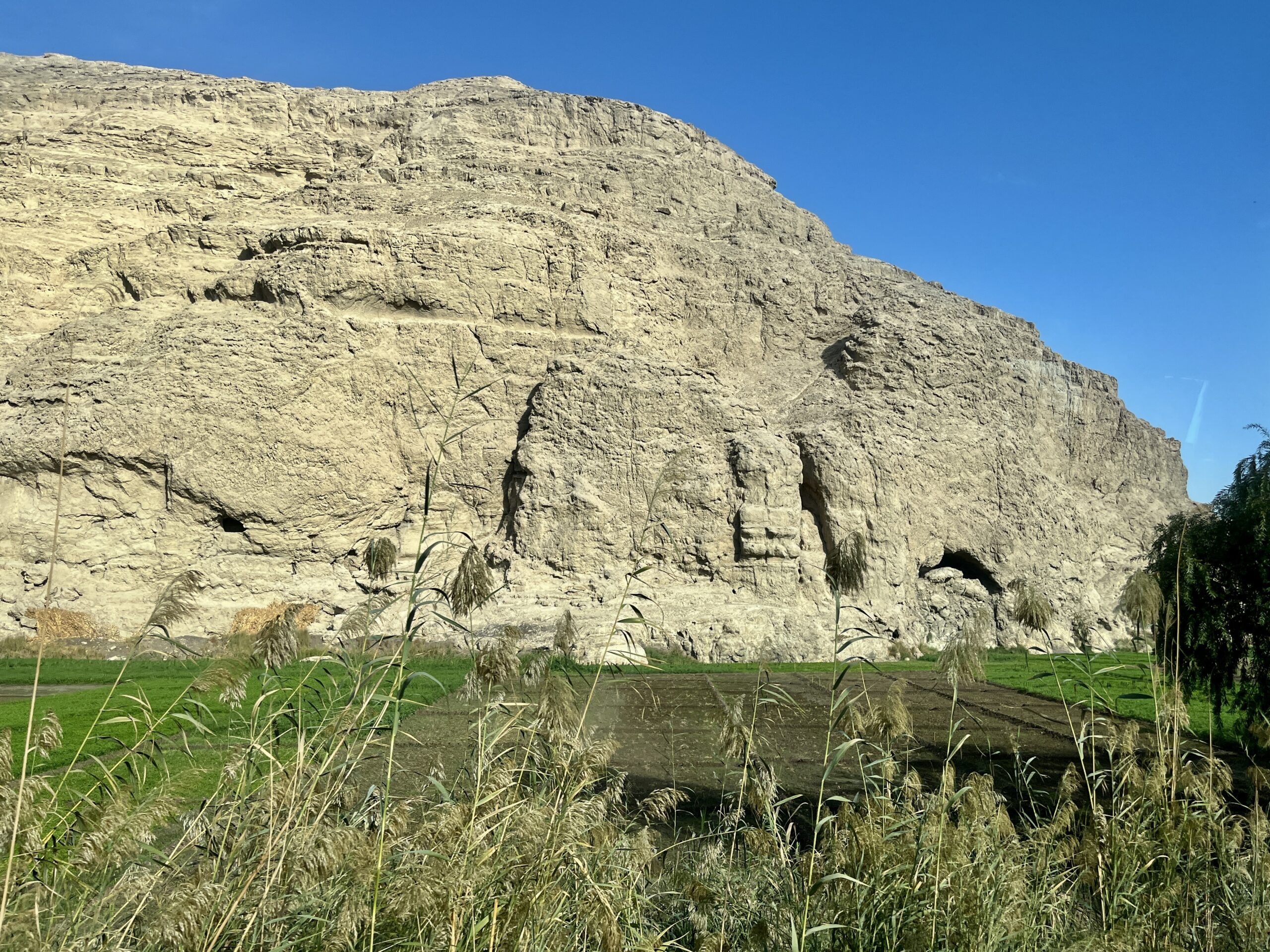


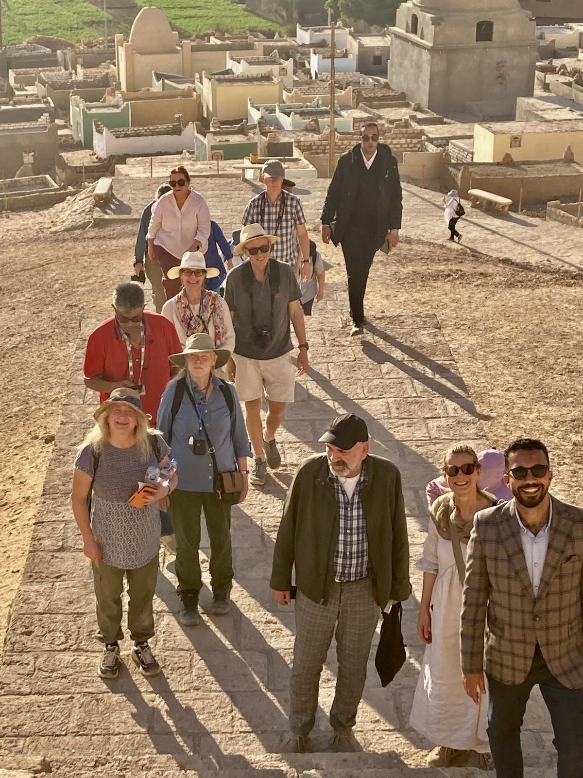
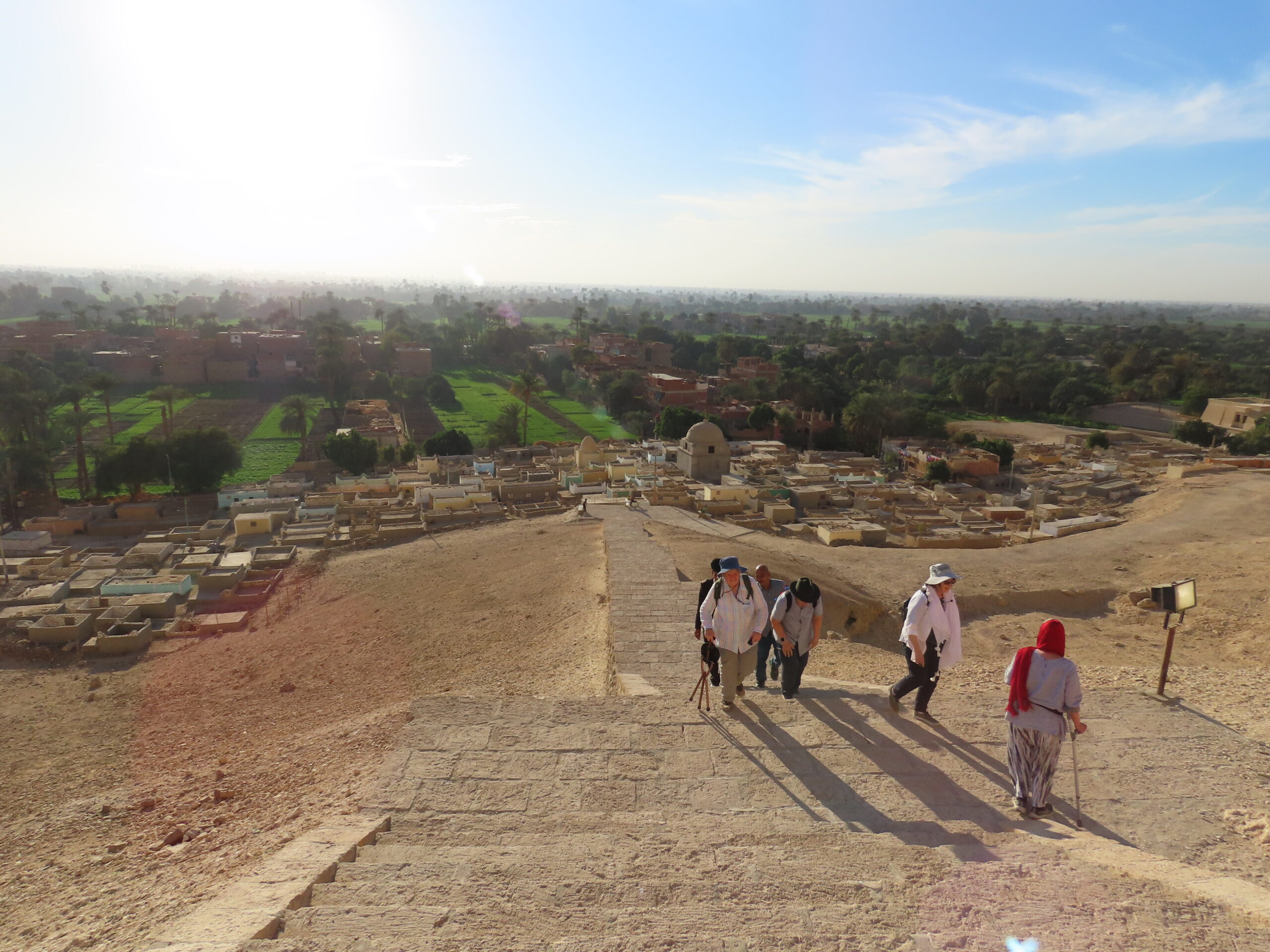
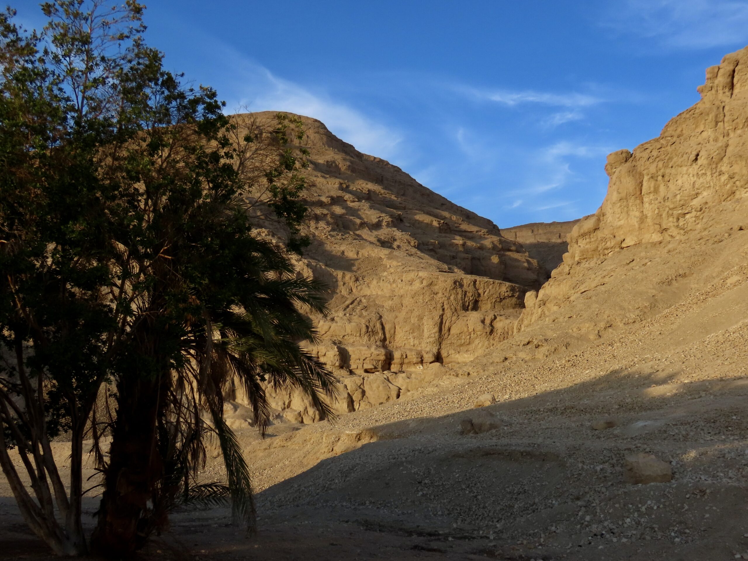
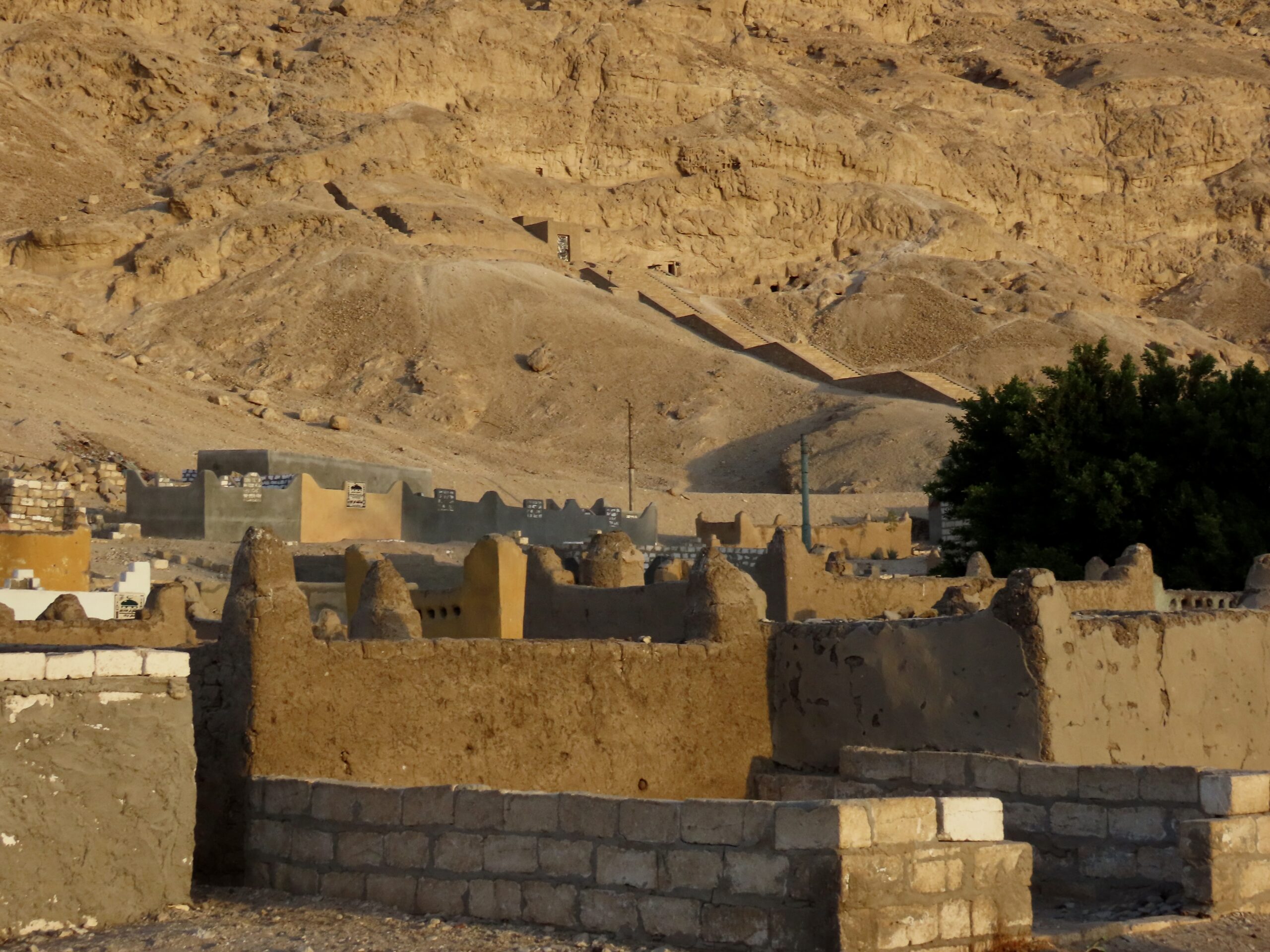
The tombs are located high up in the cliffs, requiring a long slog across sand and scree to reach them. (Thanks to Kerstin for sharing her notes from the University of Vienna)

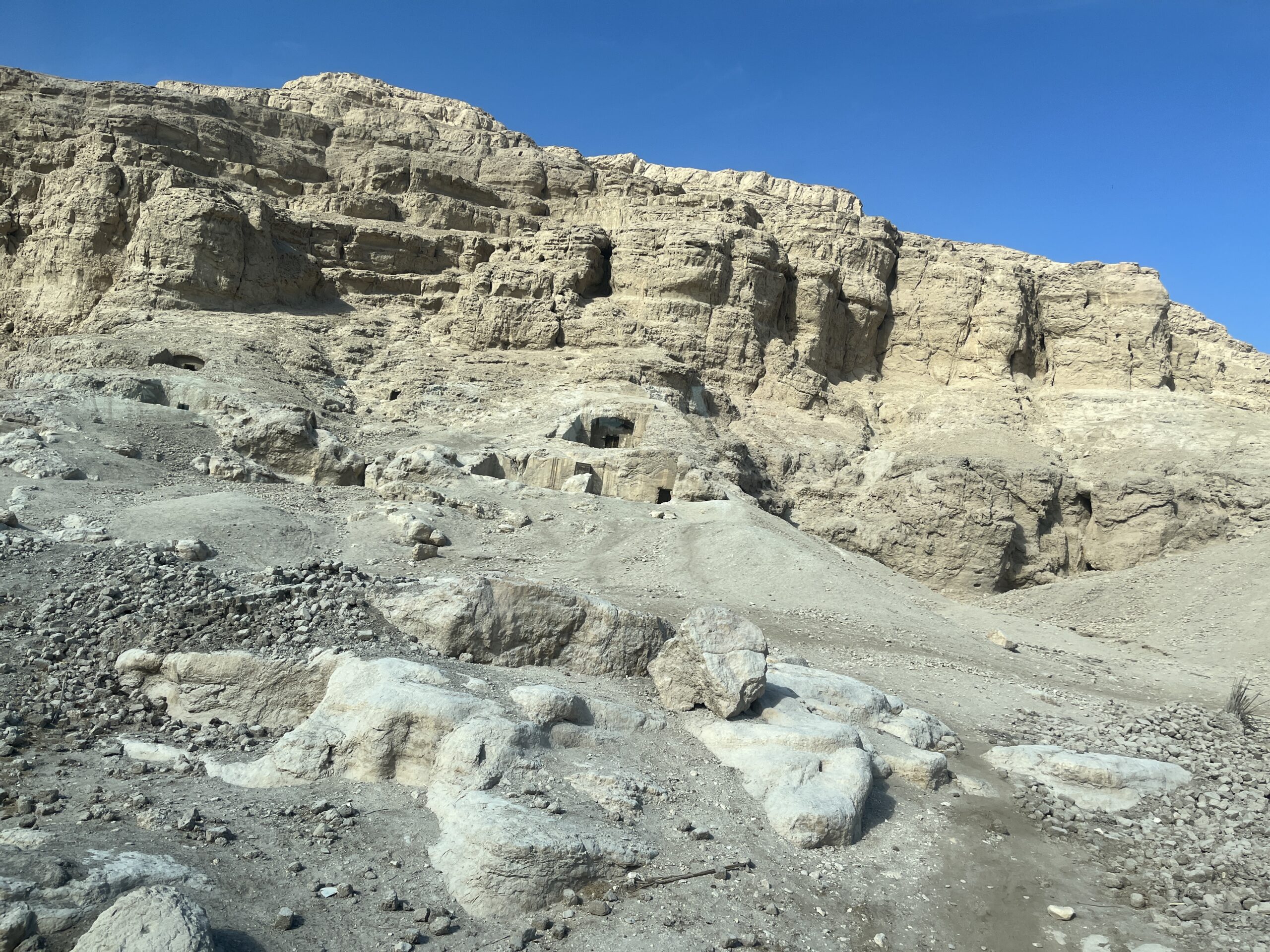
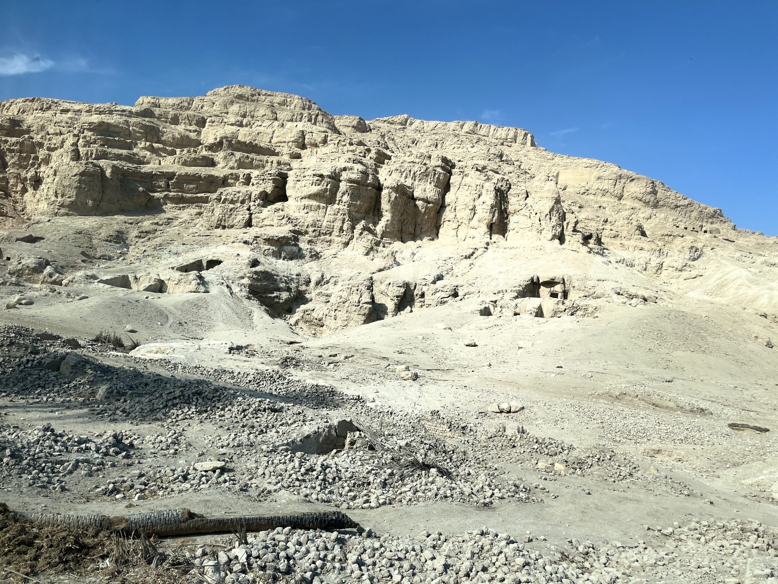


Originally, these tombs were connected to mortuary temples in the valley via long stone causeways.


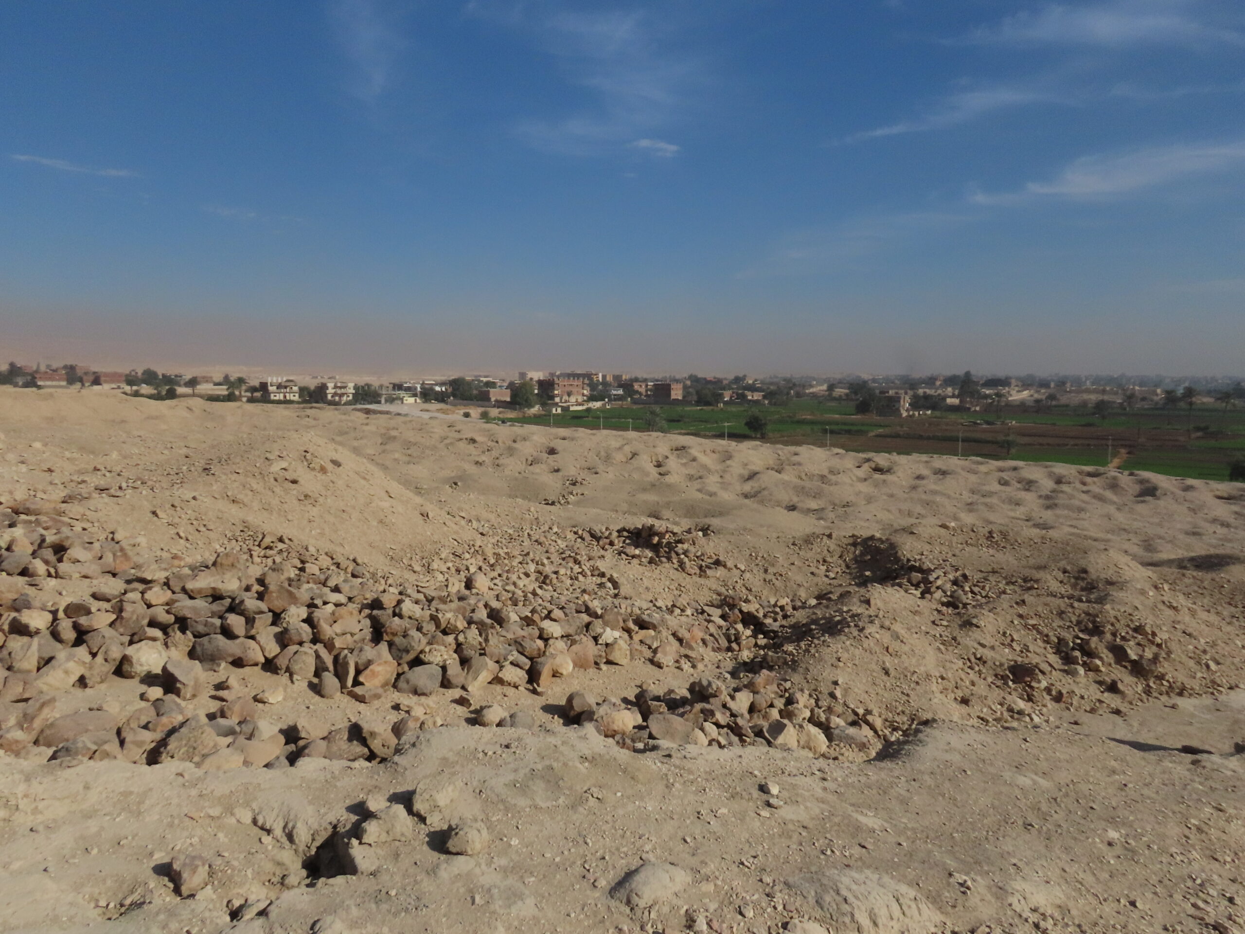
The area below these elite tombs served as a cemetery thousands of years earlier. Part of the area known as “Badari,” this area contained graves from the earliest Predynastic cultural phase in Upper Egypt (c. 4400–3800 BCE). Guy Brunton and Gertrude Caton-Thompson performed pioneering work here and at Hammamiya between 1922 and 1931. The picture below shows pots and holes left from excavations (licit and illicit).
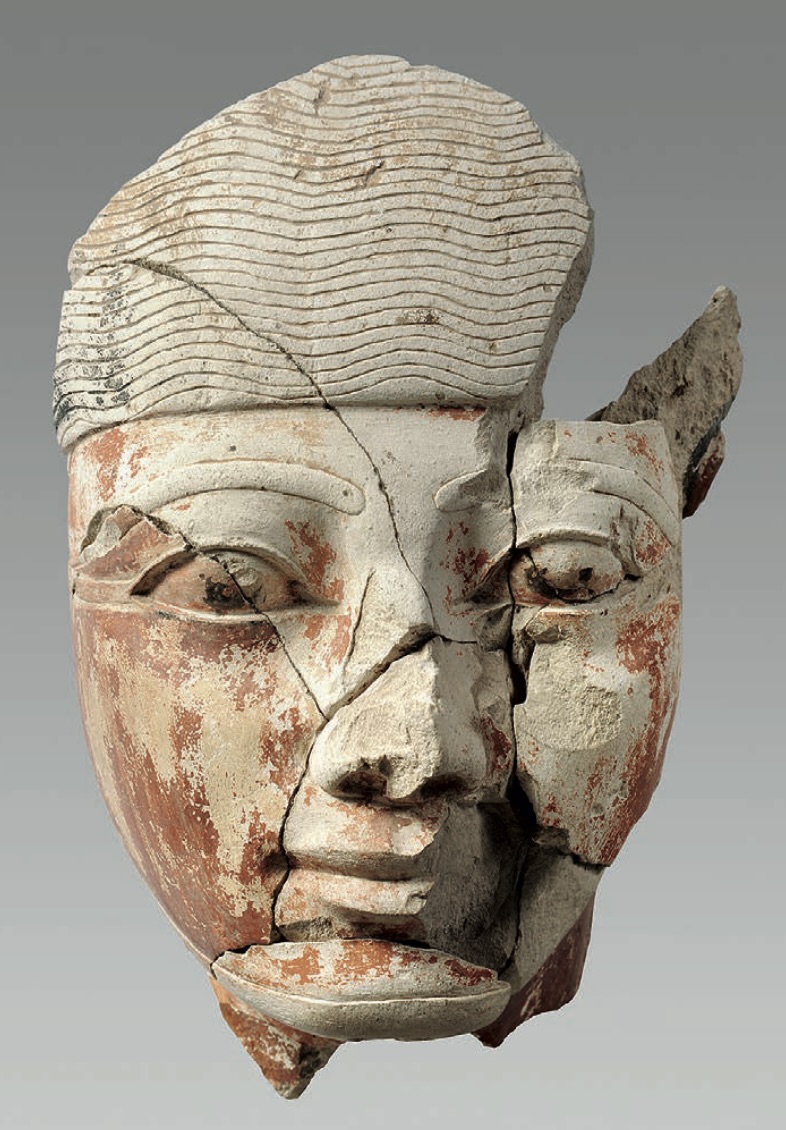
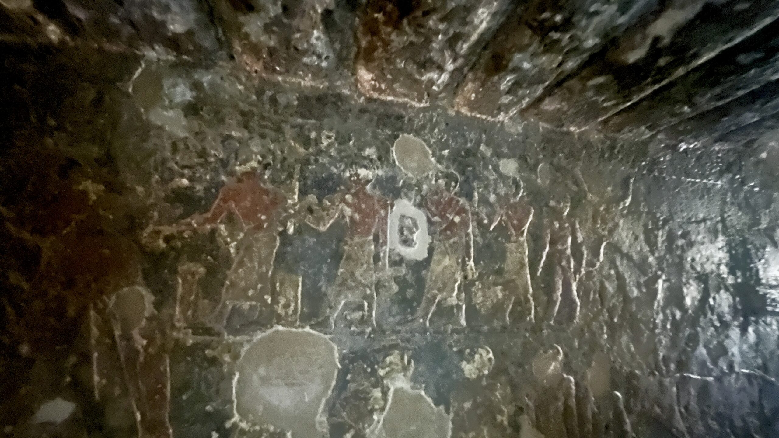
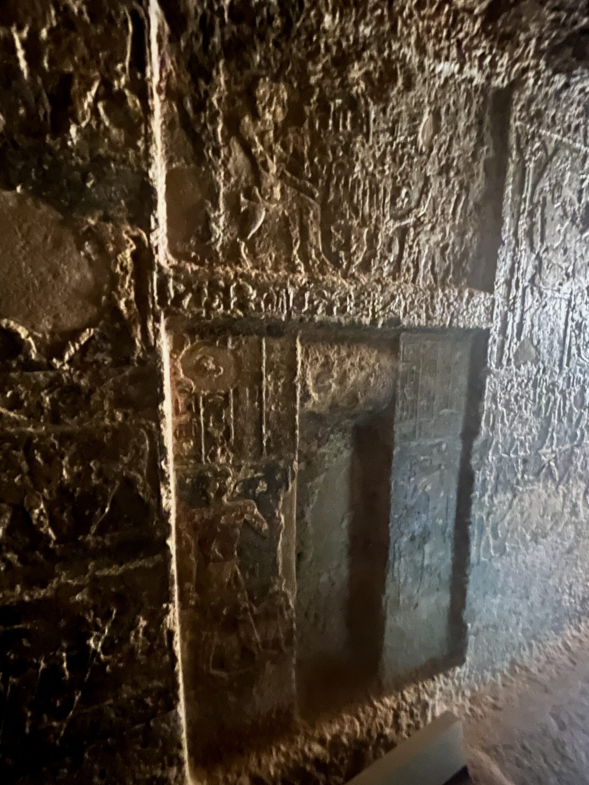
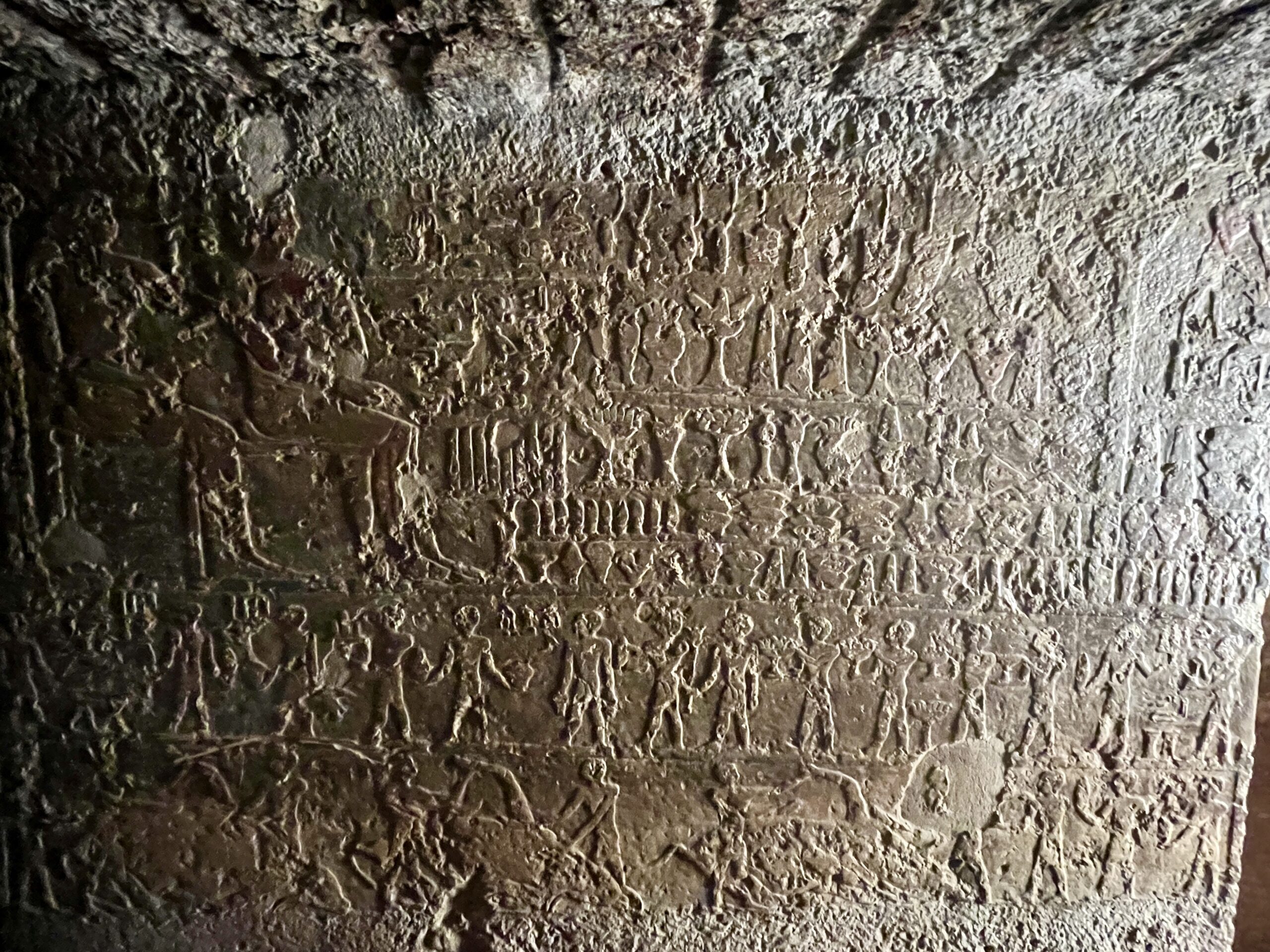
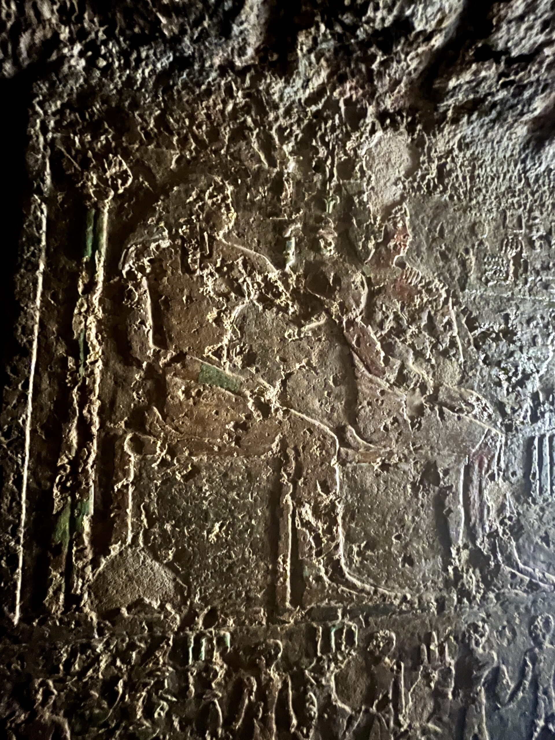
The elite tombs on the hill are among the largest non-royal private tombs of the Middle Kingdom. In addition to the valley temples, they include a large chapel (the part we can enter) with several side rooms that were decorated with reliefs and statues. The statues (most of which are in the Museum Egitto in Turn) are described by Wolfram as “belonging to the finest of Middle Kingdom art.” Burials were in chambers accessed through vertical shafts below the chapels. The best known tombs belonged to officials named Ibu, Wahka I, Wahka II, and Sobekhotep. The first 3 probably represent three generations of the same family, while Sobekhotep’s relationship is unclear.
Below are statues from Ibu’s tomb (the first from the MMA’s Ancient Egypt Transformed catalog, and the second my picture from Turin.)

Wahka II
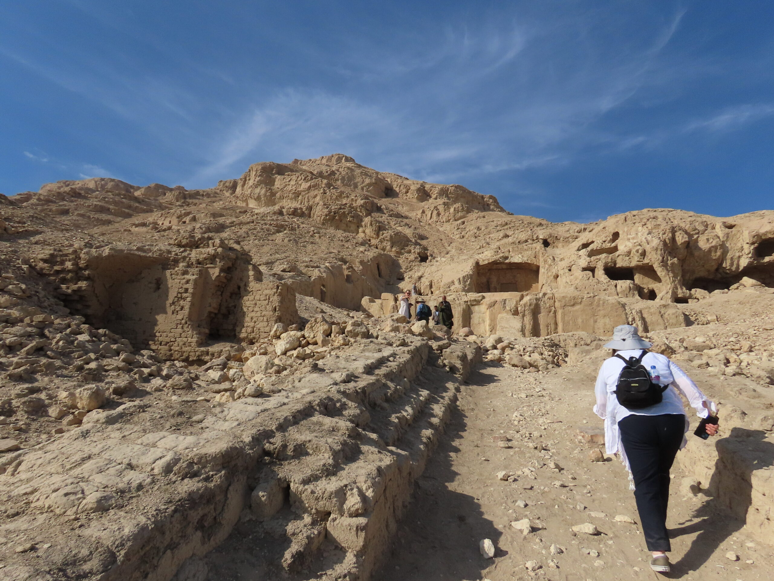
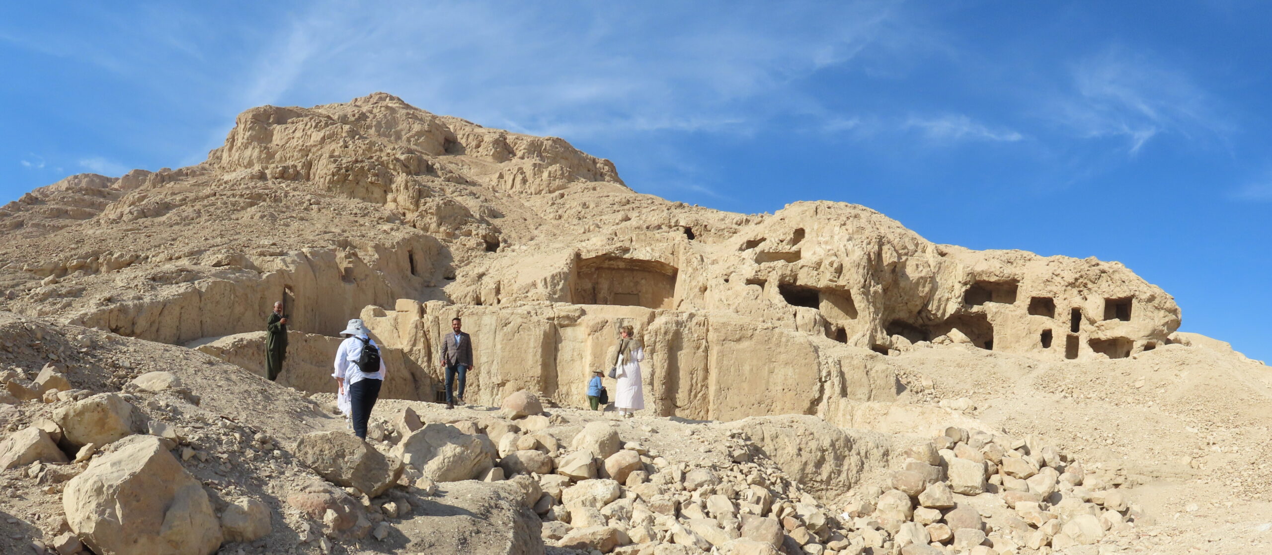
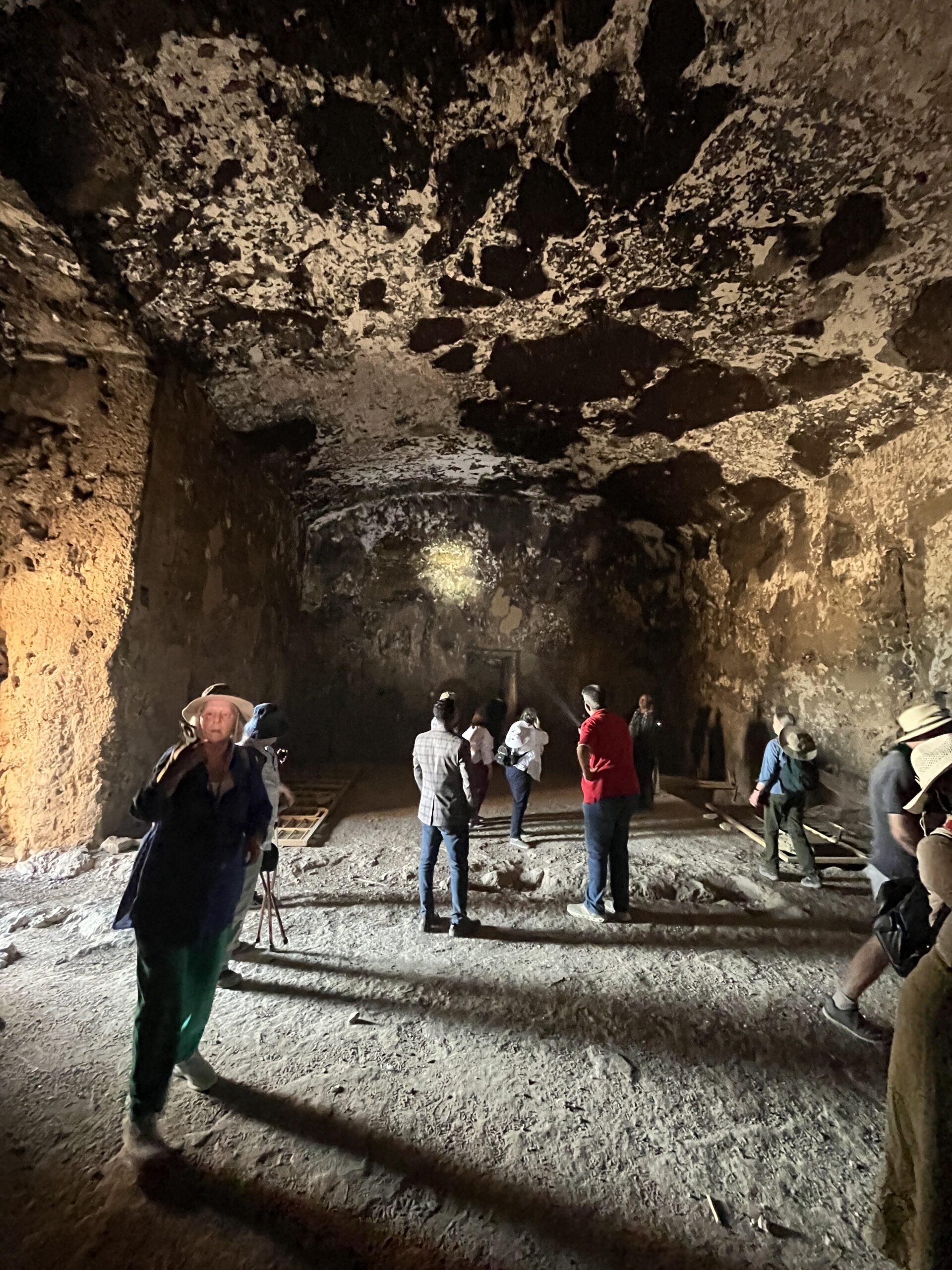
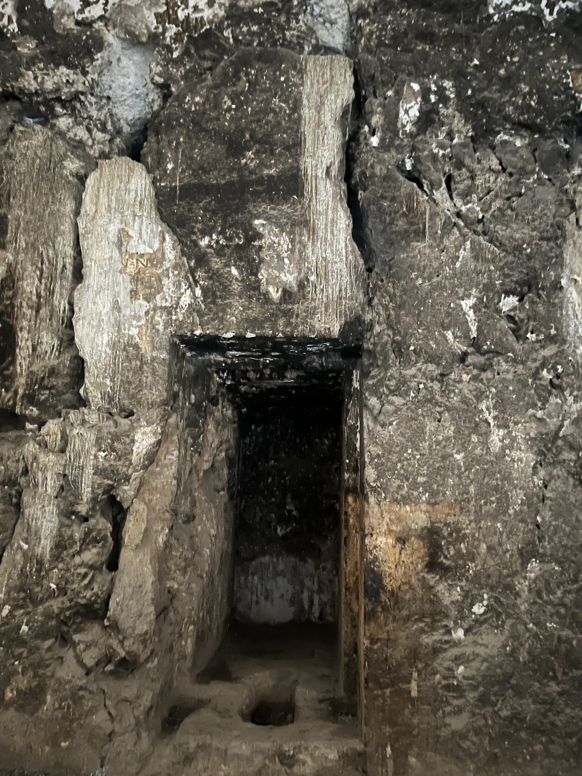
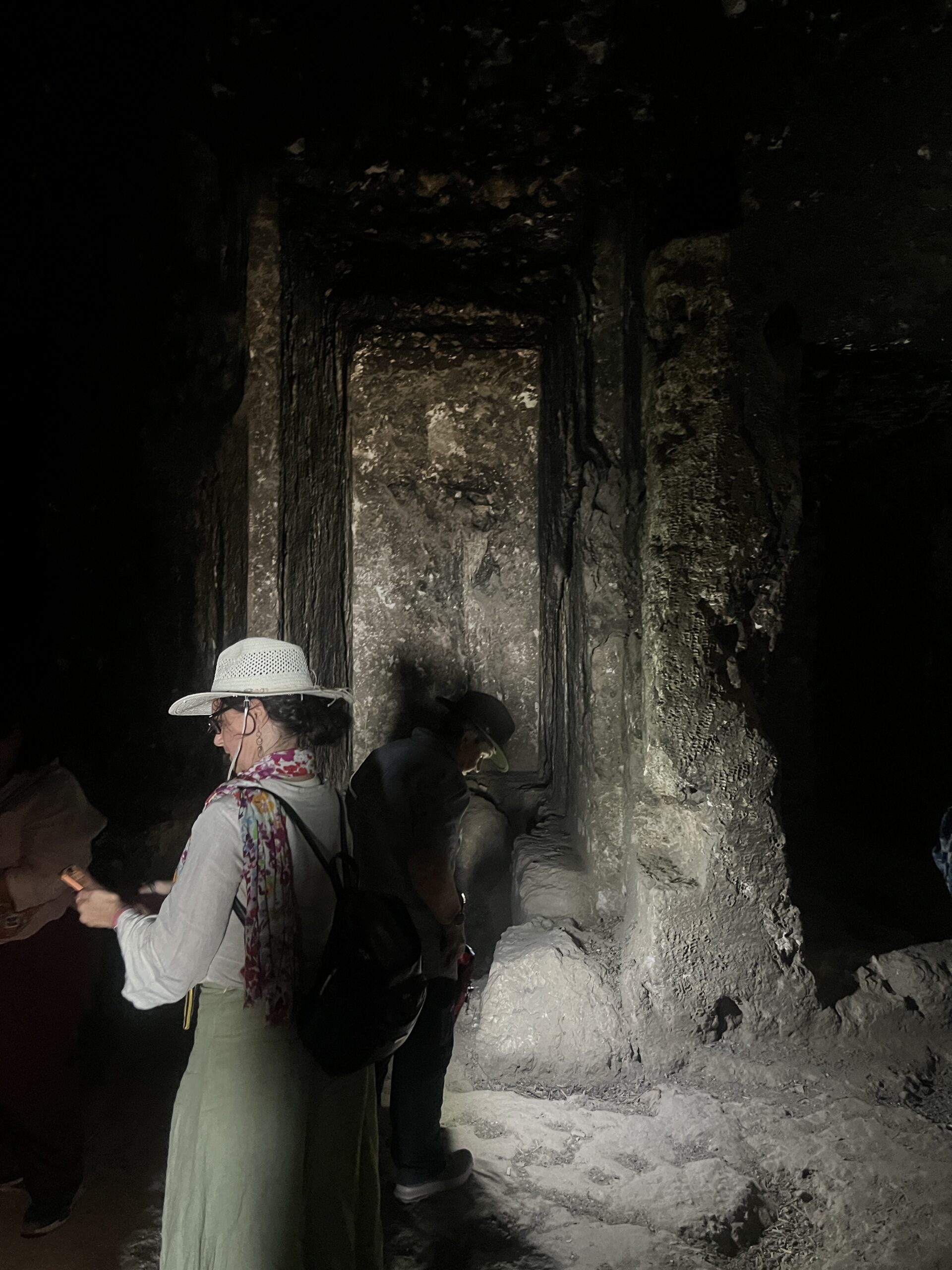
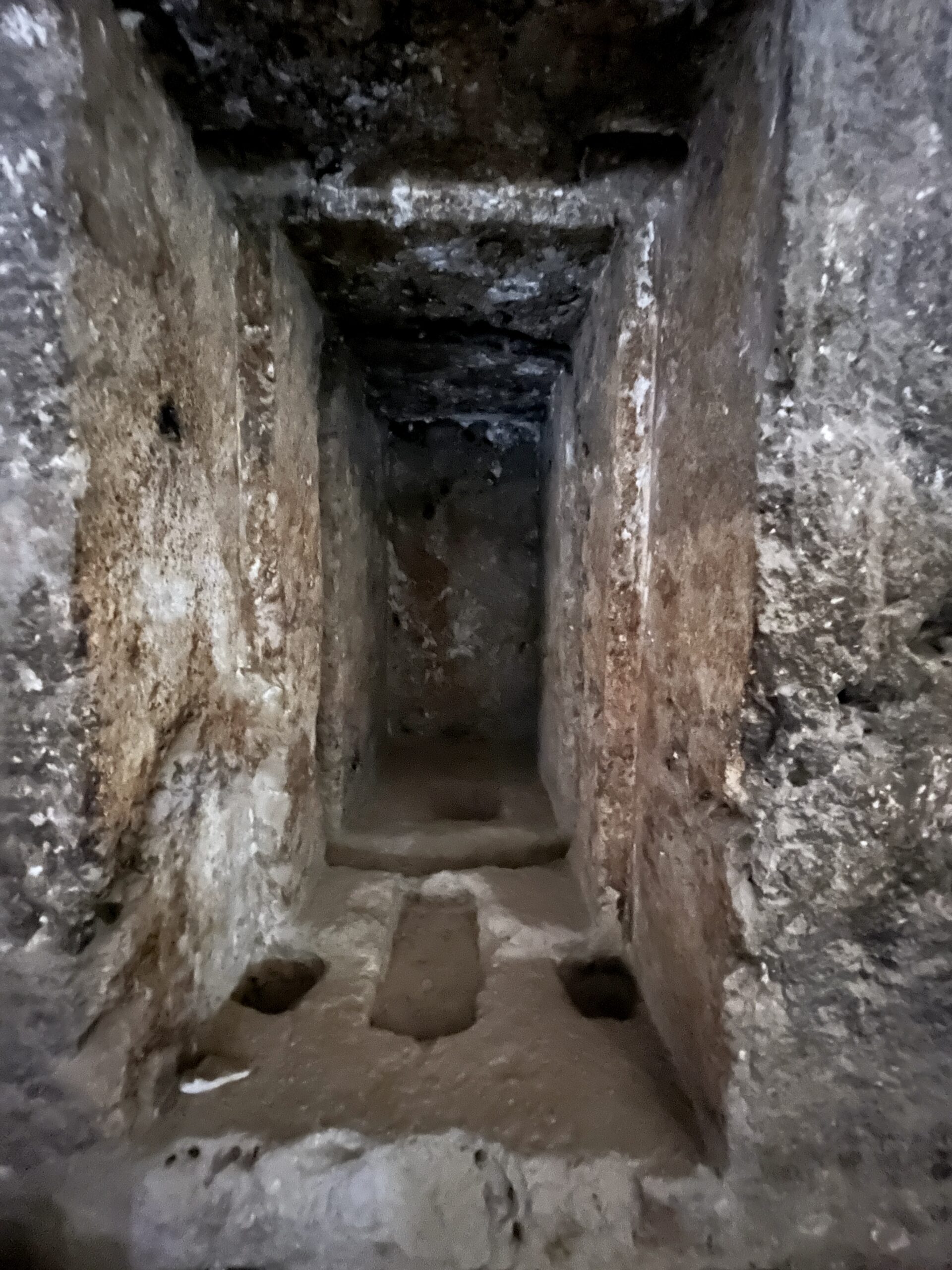
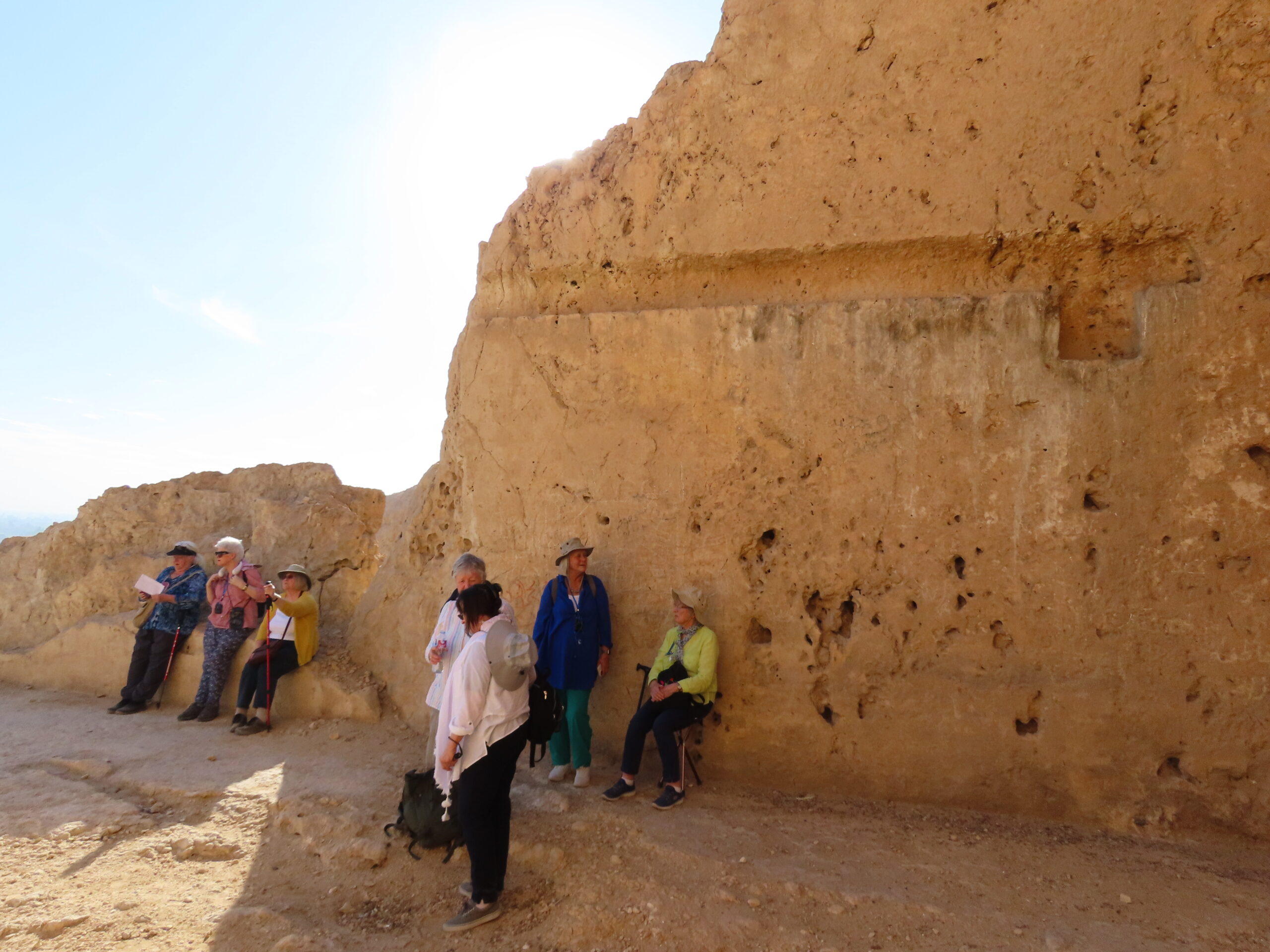
We had hoped to see at least two tombs, but were only able to visit the tomb of Wahka II because a Spanish mission was doing reconstruction work in the others. At the top of the causeway, we emerged into what was originally a columned forecourt – you’ll see some traces of columns and offering basins in the pictures below. The many holes pock-marking the cliffs around these tombs are caves in which Coptic monks lived, hiding from Egypt’s Roman overlords until the Emperor Constantine converted to Christianity.


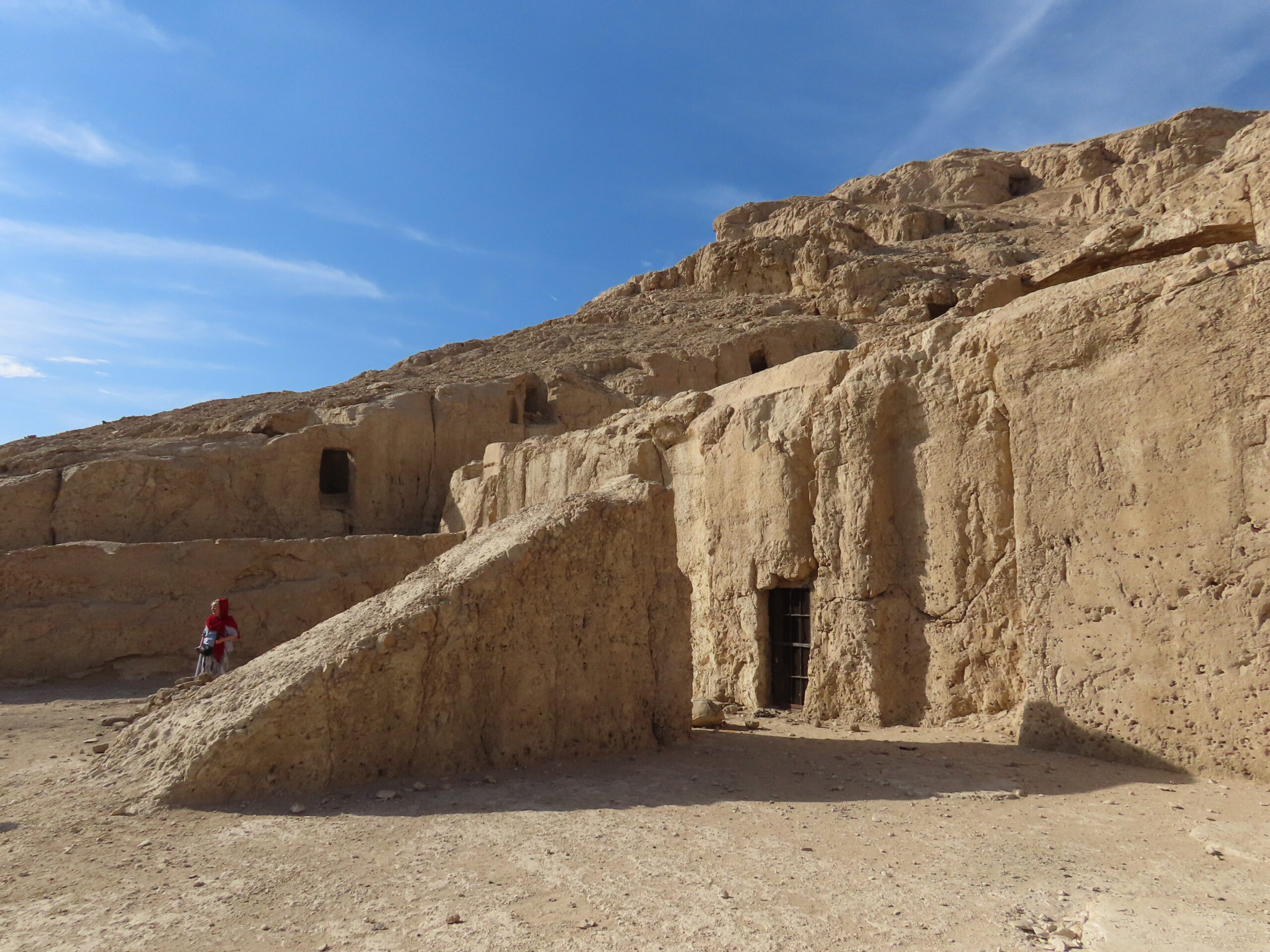


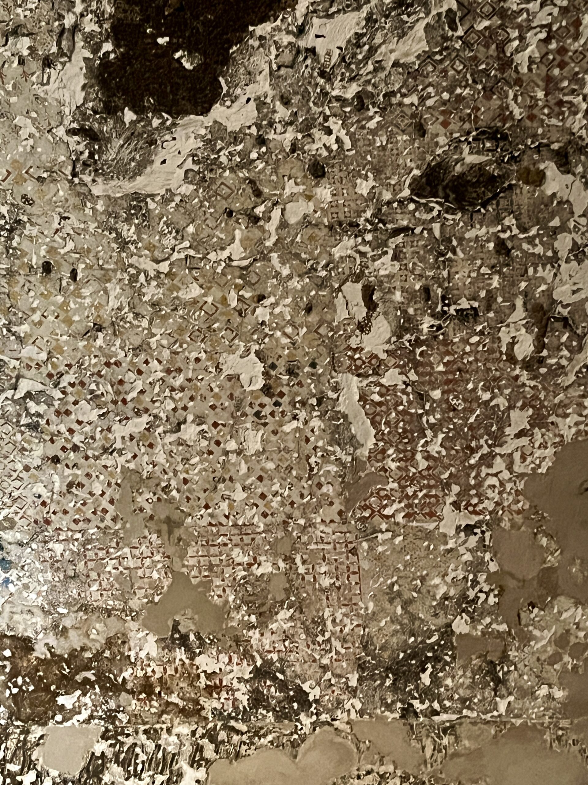
Wahka II’s complex is the largest of the four tombs and among the grandest private funerary monuments of the Middle Kingdom. It was a family tomb, with multiple burial shafts. Wahka II lived in the late 12th Dynasty, under Senusret III to Amenemhat III (c. 1870–1800 BC). Sadly, little remains of the reliefs that once graced the chapel’s interior. I’ve included a clip from Kerstin’s reference materials showing the intricate geometric paintings that once covered the ceilings, of which only traces remain.


One famous relief (shown in the sketch below) is image of a dancing girl wearing anklets with feline claws. Ancient Egypt had a number of female feline deities, all exhibiting attributes of both fierce protection and equally powerful destruction. This anklet with claws appears over and over in this period.


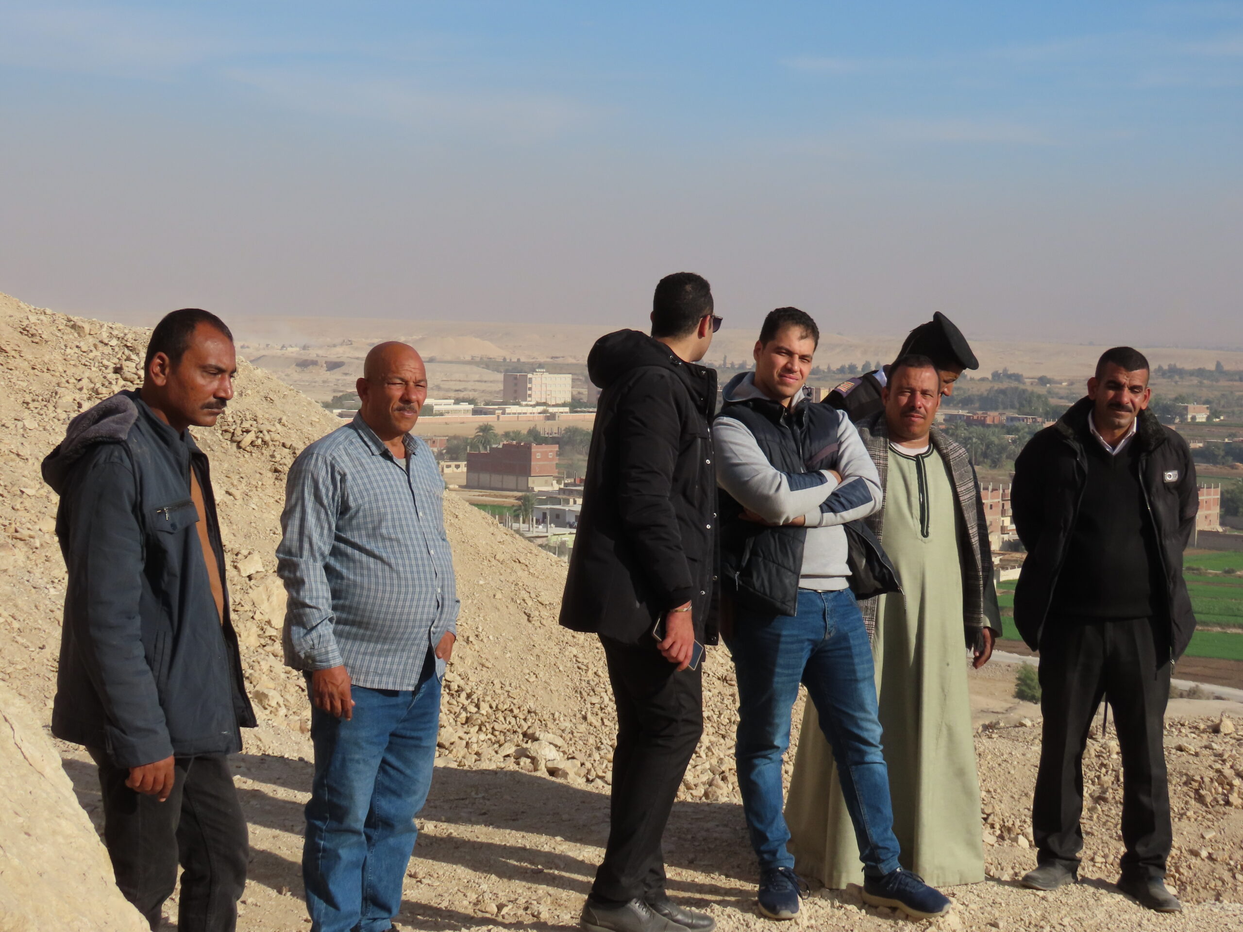


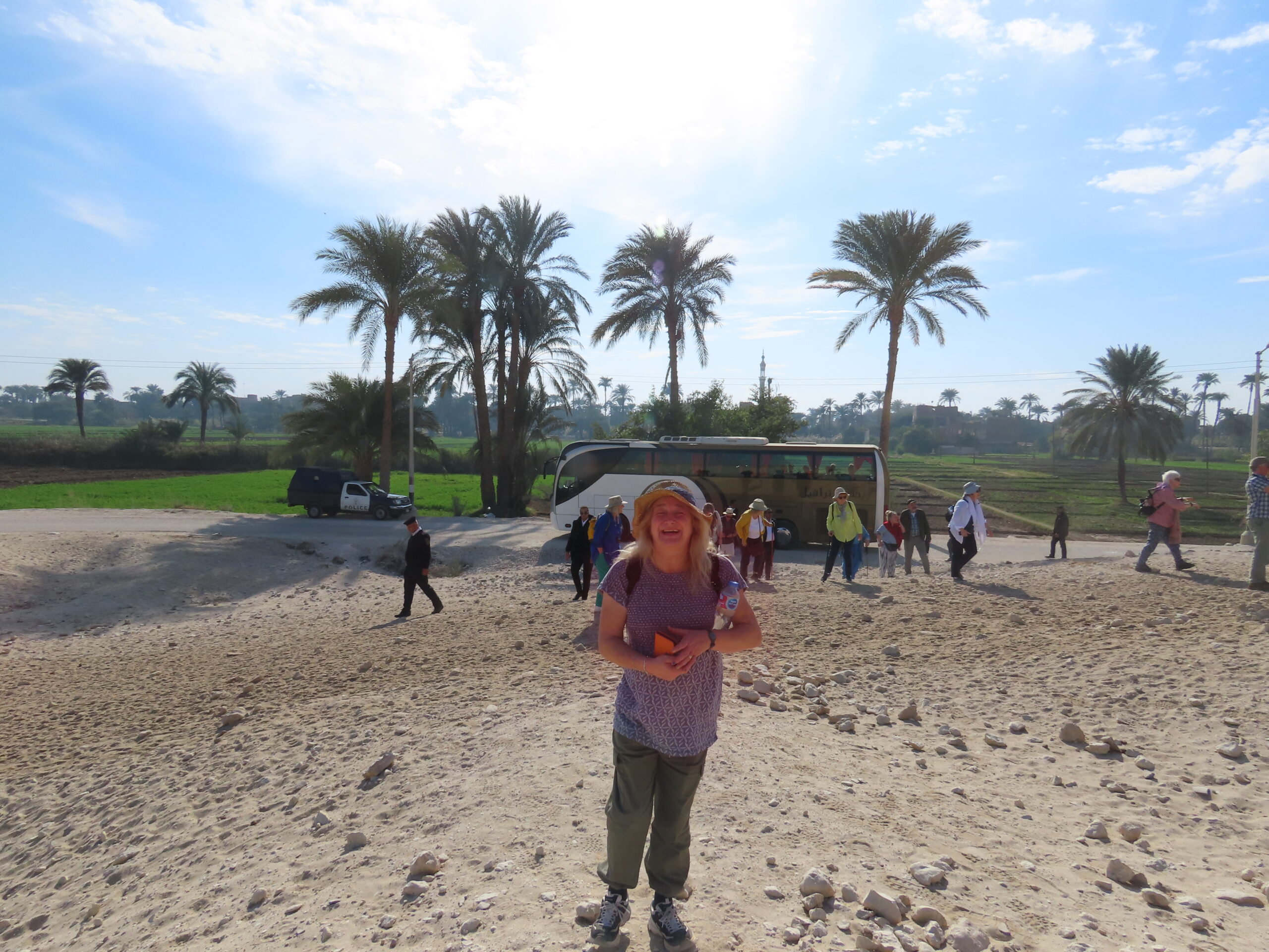
Mohamed asked us to pose for a group photo, and we obliged.
El Hammamiya
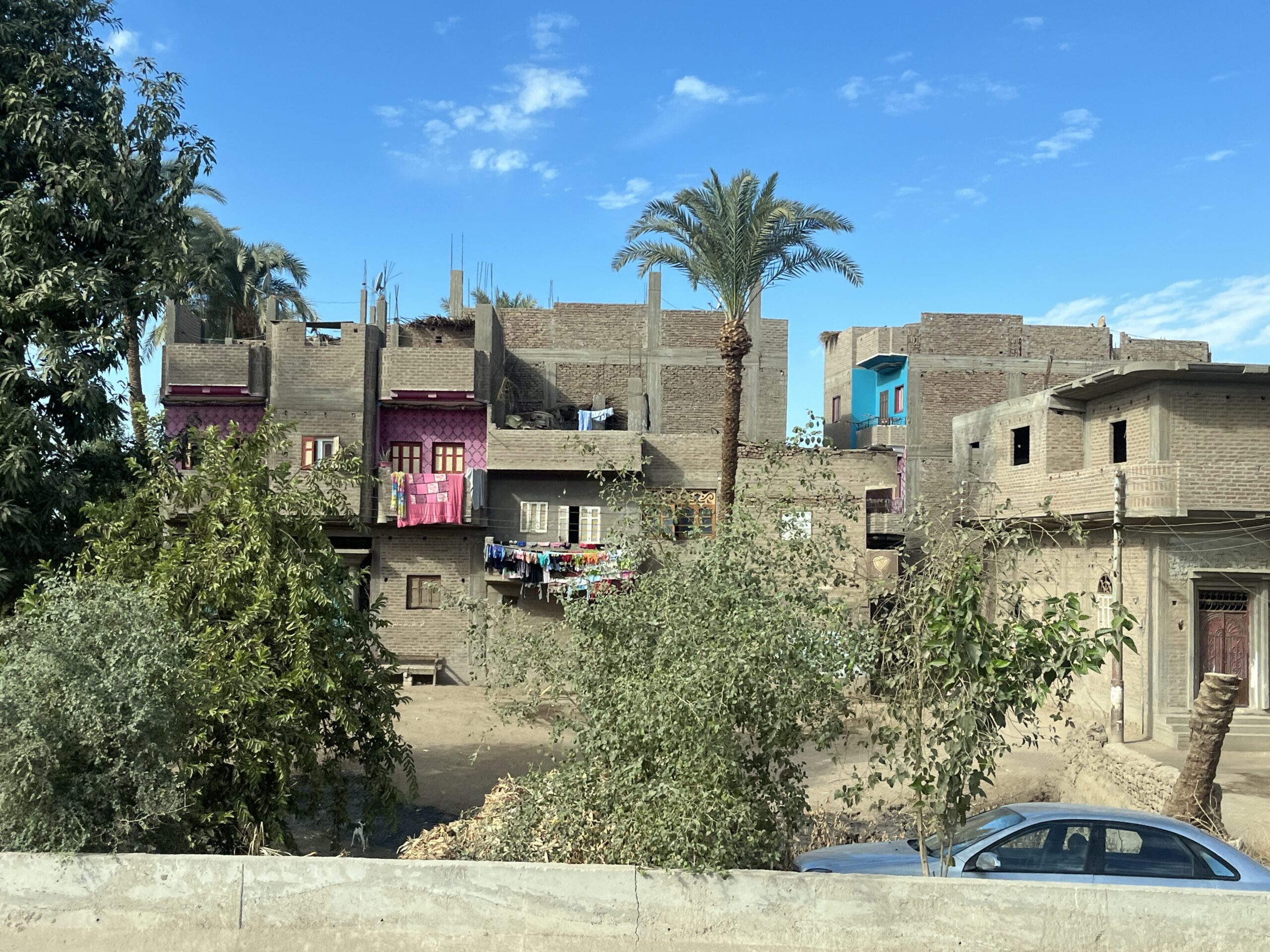
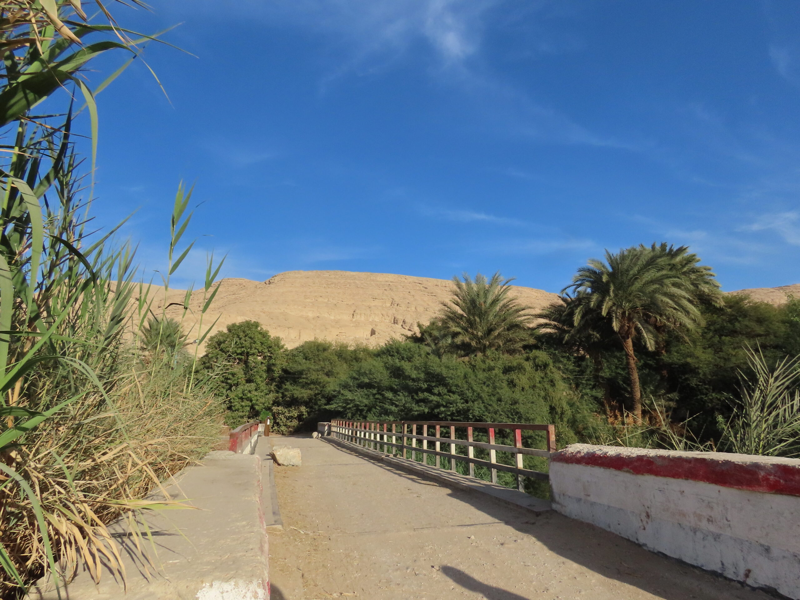
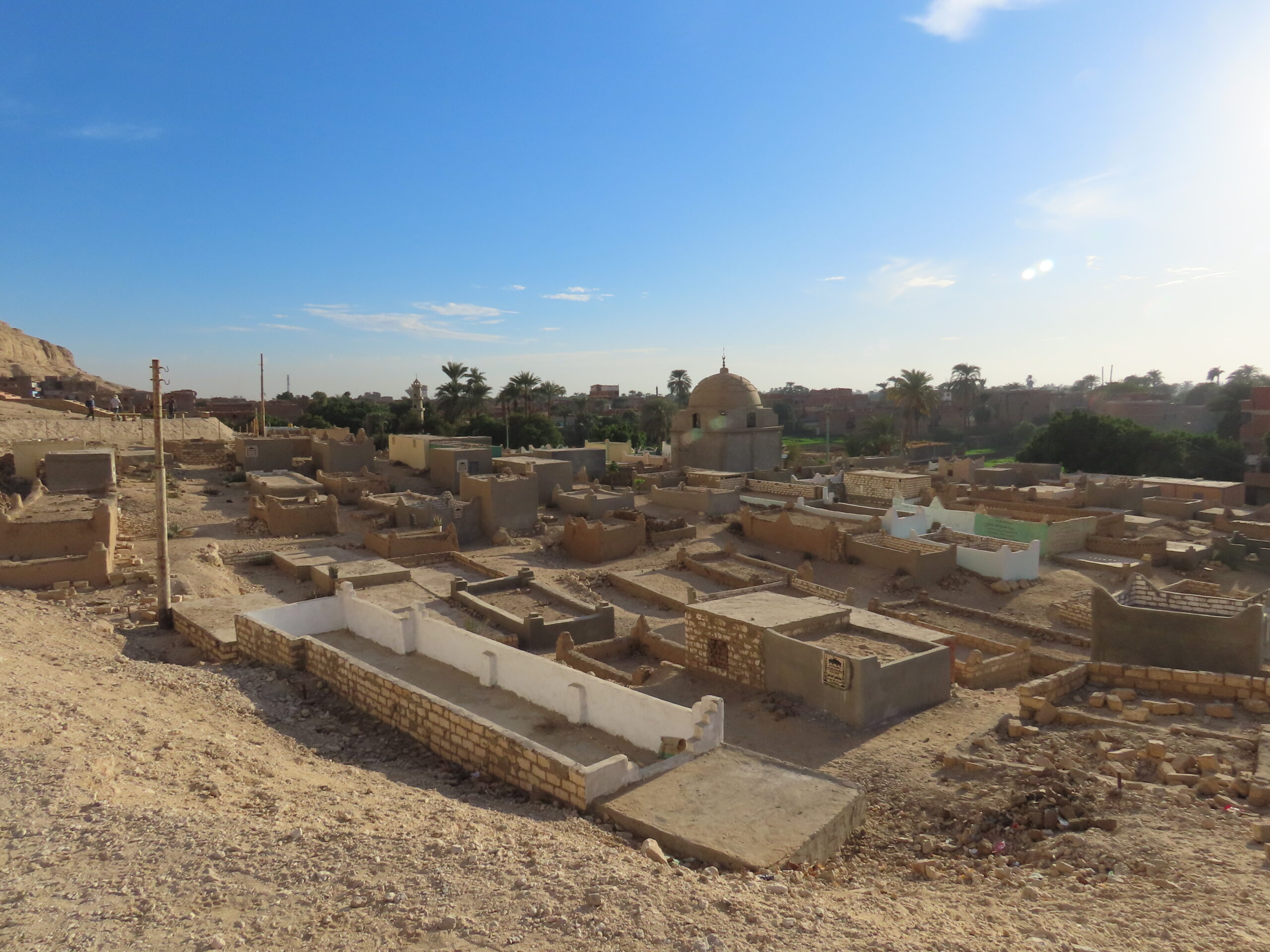
After everyone made it safely down the hill, we piled into the bus and headed back to el-Hammamiya. Salah parked on the main road, and we crossed over a canal and through a housing area to access the cemetery. Quite a contrast to Qaw!


Once past the habitation, we had another long climb up the hill, but this time on a modern stone stairway/ramp.


The tombs at el-Hammaiya are from the Old Kingdom (4th-6th dynasties. At this time, the pharaohs at Memphis still held central power and appointed loyal retainers to govern the provinces in the rulers’ interests.
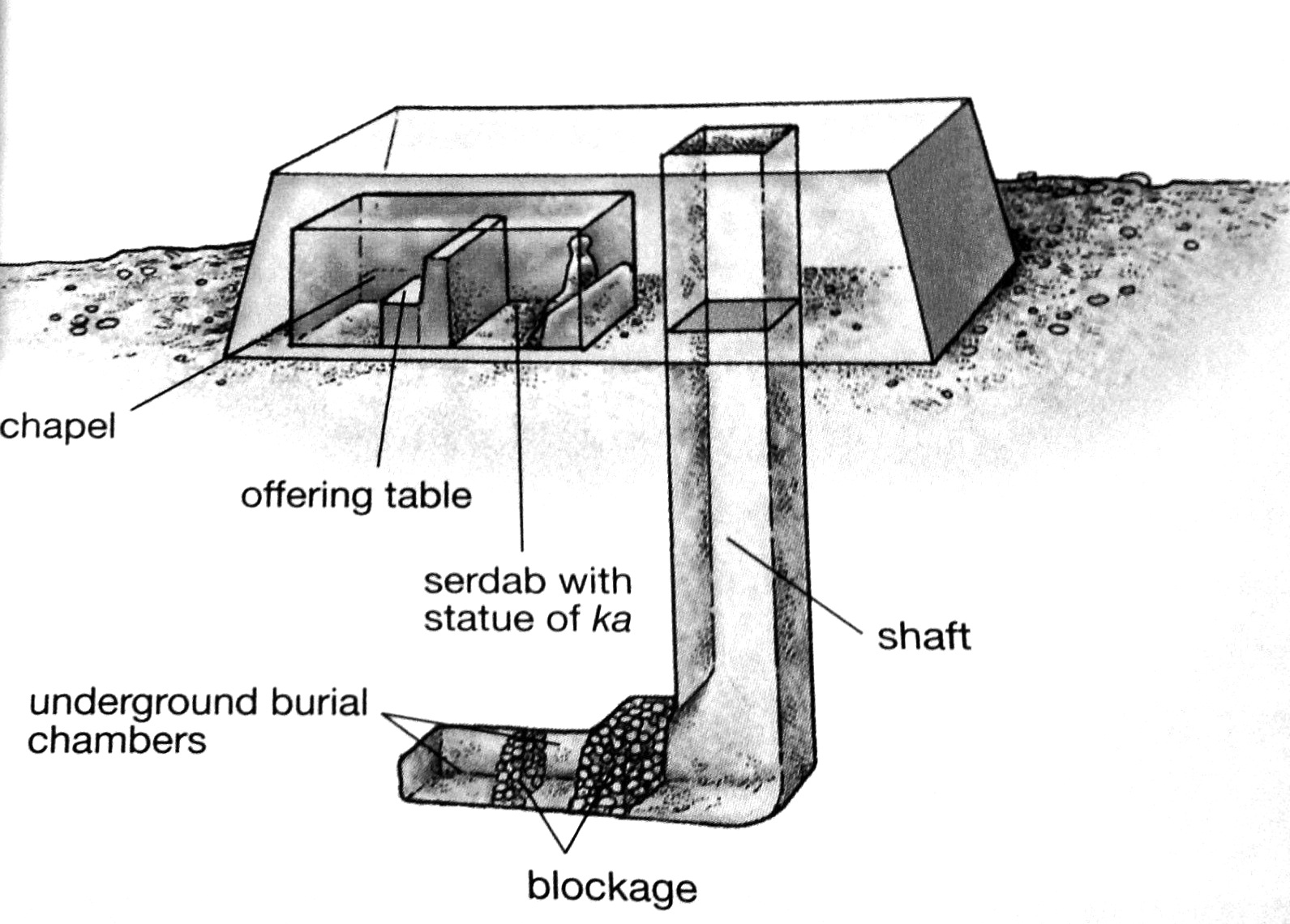
Although these tombs are also carved from the rock, their architecture is different from the tombs at Qaw. In the Old Kingdom Memphite cemeteries (around Saqaara and Giza) most elites were buried in “mastaba” tombs, like the sketch below from the Art History Glossary. “Mastaba” means “bench’ in Arabic, which is where these free-standing, rectangular, above-ground tomb complexes got their name.
Kakhenet II
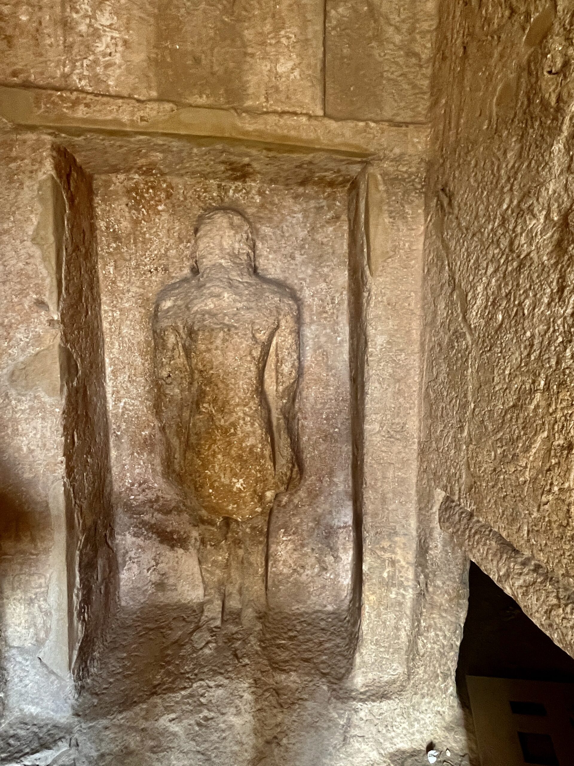
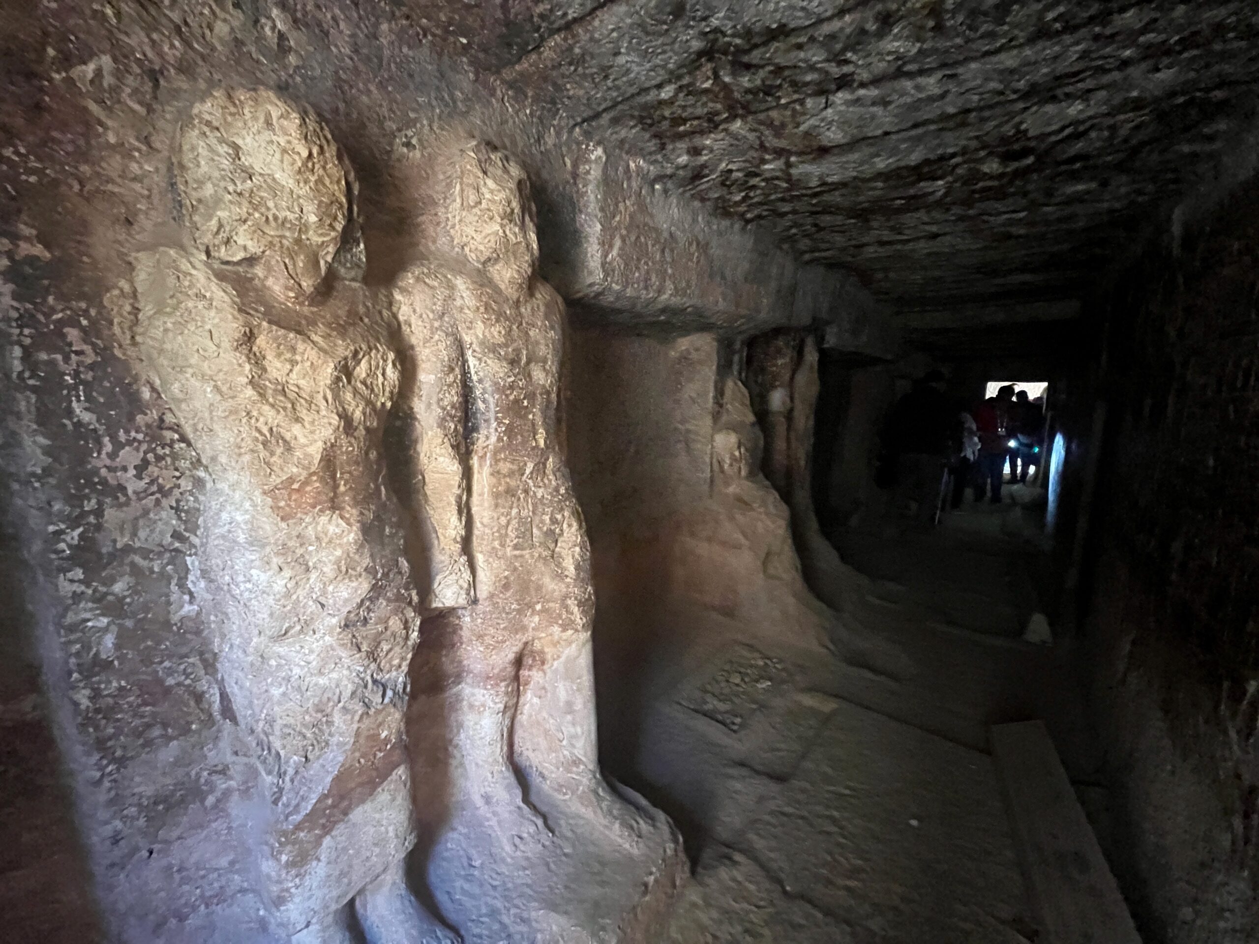
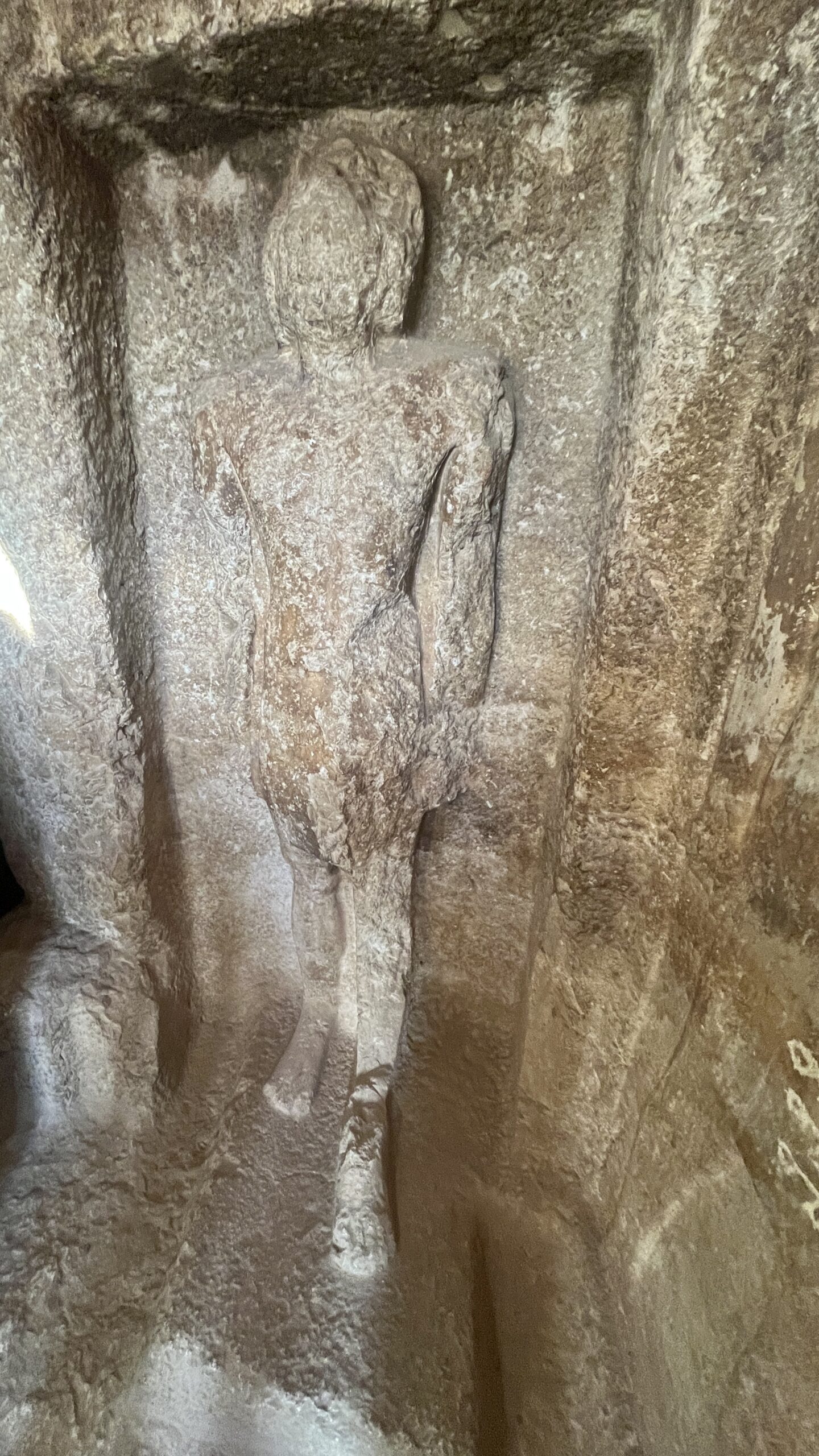
At Hammamiya, the elites dug chambers into the cliff, with entries designed to look like mastabas. We visited the family tomb of Kakhenet II, who lived in the 5th Dynasty. His titles indicate that he held authority over neighboring areas beyond his 10th nome base. He and his wife, Iufi, held the titles “son/daughter of the king of hid body,” suggesting a family relationship to the Memphite ruler. Iufi must have had special importance, as she is shown traveling on a boat in the marshes – an otherwise common scene – but she is alone, without her husband. The tomb chapel contains badly eroded statues of family members and the reliefs (also eroded) are hard to read.


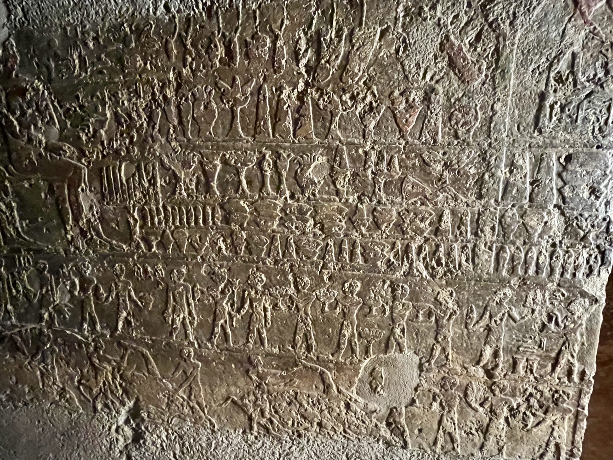

One of the boat depictions gave rise to a lively debate about…hedgehogs. Amr mentioned that hedgehogs are a frequent motif in Egyptian tombs, including hedgehog-headed boats. (Examples below are from the 5th dynasty tombs of Niankhnum and Khnumhotep and Raemka, with a boat under construction from the tomb of Nefer and Kahay.)


There are several theories about the significance of hedgehogs: their spines were used in medico-magical prescriptions; they are resistant to venom (snake, scorpion, wasp) and are also known to “self-anoint” their spines with other creatures’ poisonous secretions – handy little critters to have around. Amr noted that they are able to swim and can float on their backs while curled in a ball, looking like the hedgehog-headed boats. Ali was not having any of this, leading to an exchange of scholarly articles followed by production of the ultimate proof…


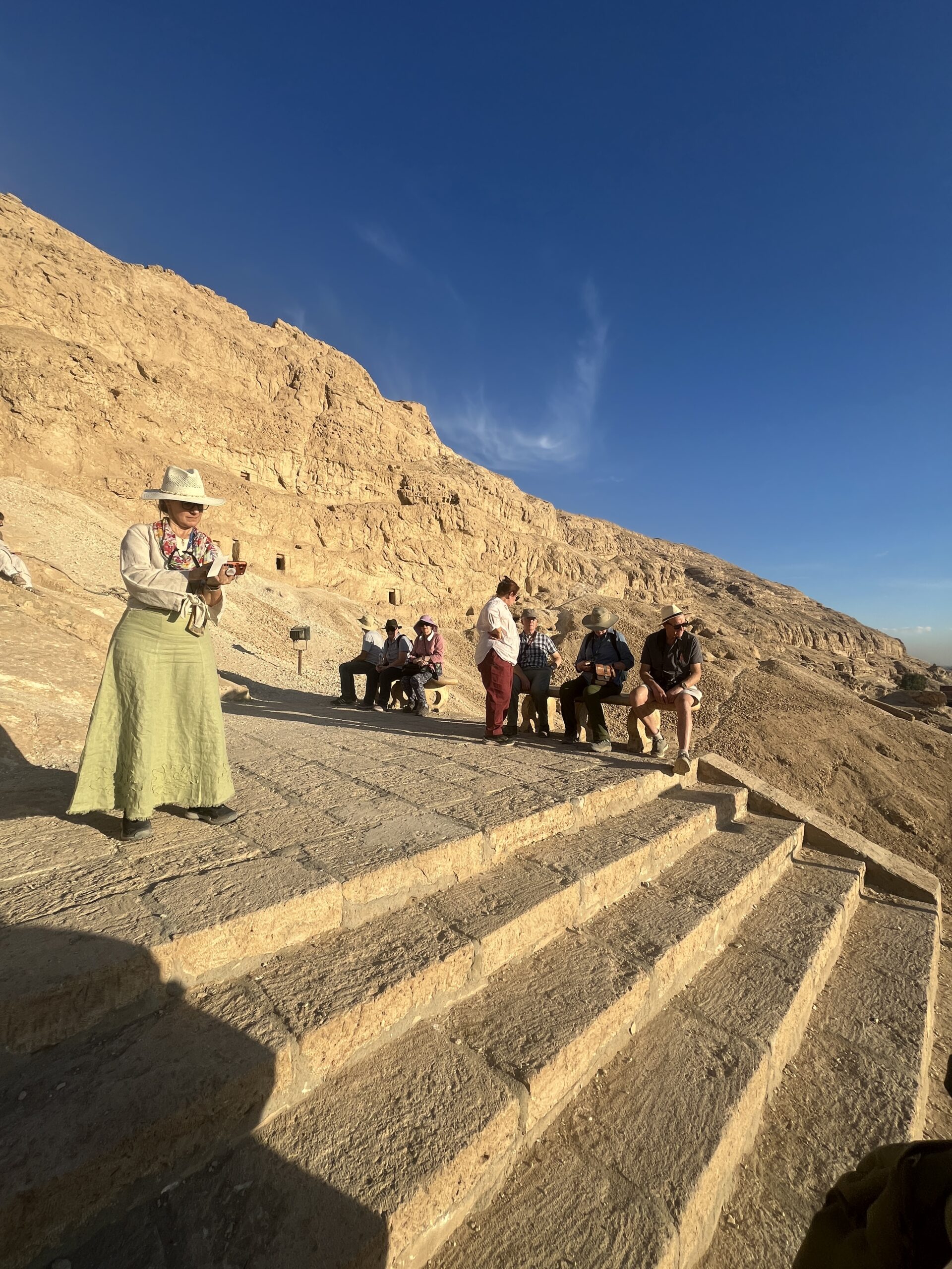
Mohamed was so excited to have a group of our size that he asked us to pose for another group photo (hoping to post it on the site’s website to encourage more visitors).

We made our way back down the hill, hung out in the shade for a bit, then clambered on to the bus.


We backtracked to Sohag, another 1.5 hour bus ride, to the reach the Sohag Azur Hotel for our night’s lodging. Wolfram’s evening lecture was (blessedly) postponed until the following day due to our late arrival.


Thank yo for sharing, Joni!
Grazie mille for the awesome journey!
Grazie a te